No Results Found
The page you requested could not be found. Try refining your search, or use the navigation above to locate the post.
The page you requested could not be found. Try refining your search, or use the navigation above to locate the post.
Features information that is relevant to travellers who are thinking about and actively planning a visit to Mauritus.
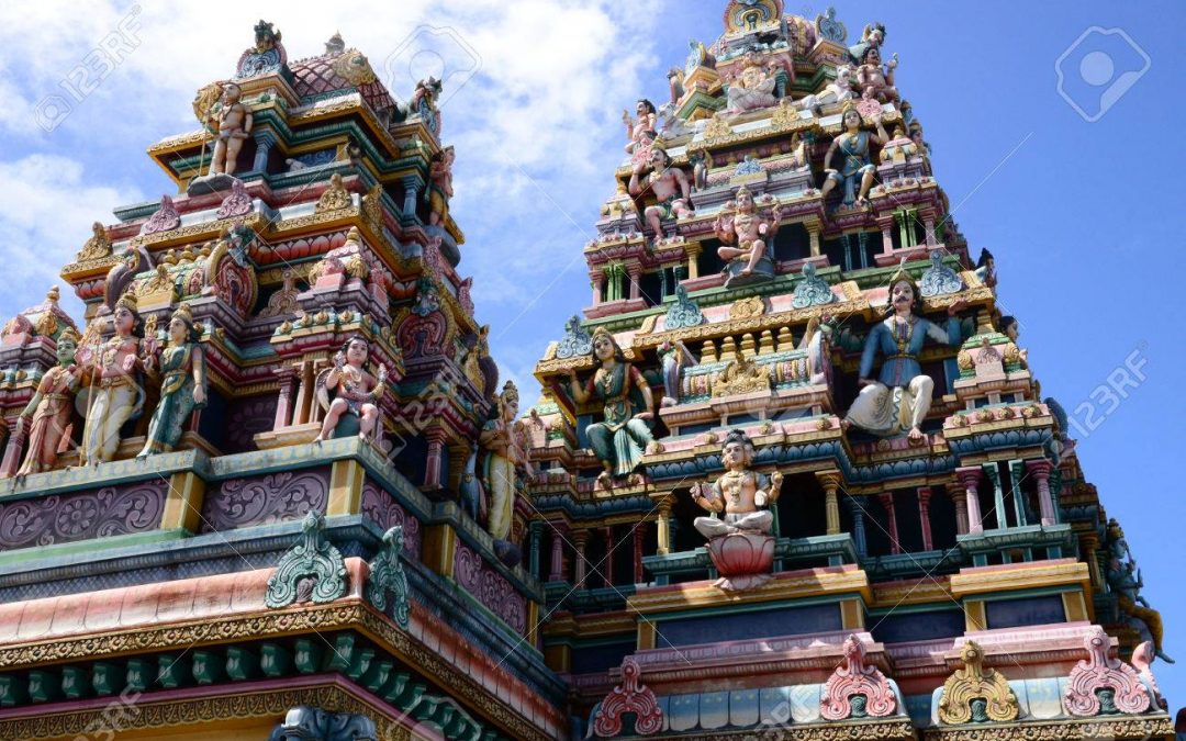
Hinduism is the most widely practised religion. The people of Indian descent (Indo-Mauritian) follow mostly Hinduism and Islam.
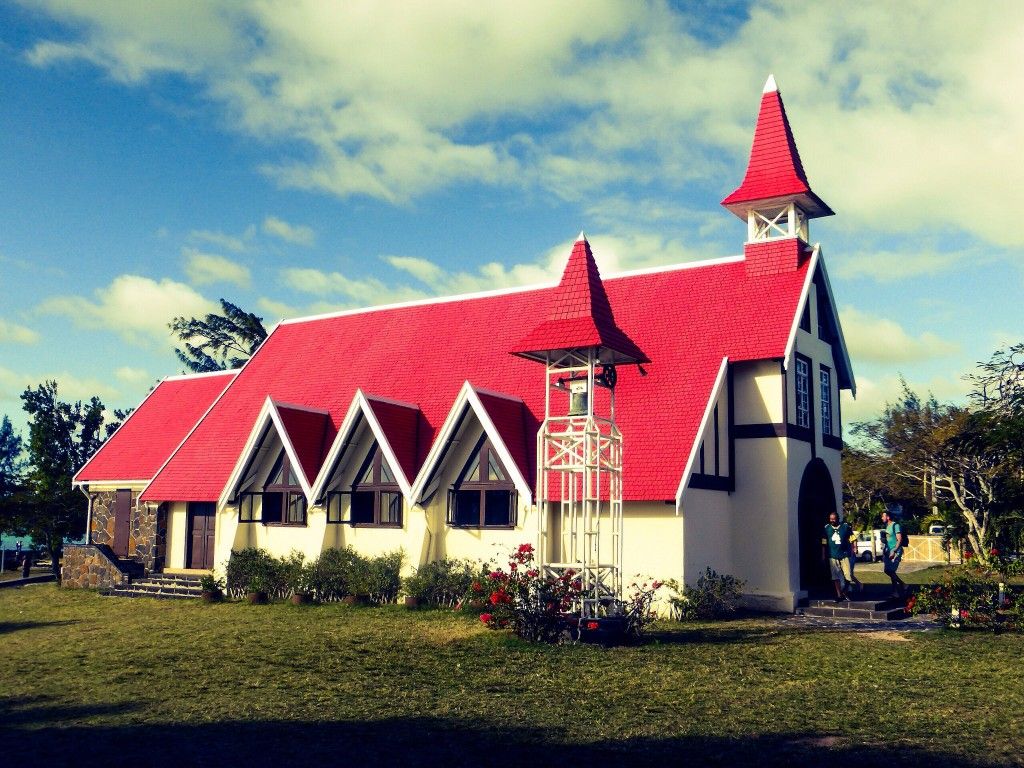
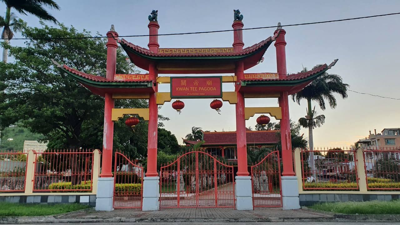
The Franco-Mauritians, Creoles and Sino-Mauritians follow Christianity. A minority of Sino-Mauritians also follow Buddhism and other Chinese-related religions.
The constitution prohibits discrimination on religious grounds and provides for freedom to practice or change one’s religion.
According to the 2011 census Hinduism accounts for 48.54% of the population, followed by Christianity at 32.71% (with Catholicism as the largest Christian denomination at 26.26%), followed by Islam 17.30% and Buddhism 0.18% in terms of number of adherents. Mauritius has the highest percentage of Hindus in Africa and third highest percentage of Hindus in the world after Nepal and India, respectively.
The government provides subsidies to the Roman Catholic Church, Church of England, Presbyterian Church of Mauritius, Seventh-day Adventists, Hindus, and Muslims according to their tax-exempt status and numbers in the census. Other religious groups can register to get their tax-exempt status but they will not get any subsidy. Religious public holidays are the Hindu festivals of Maha Shivaratree, Ougadi, Thaipoosam Cavadee, Ganesha Chaturthi, and Diwali; the Christian festivals of Assumption and Christmas; and the Muslim festival of Eid al-Fitr.
Maha Shivaratri, or the ‘Great Night of Siva’ is one of the biggest festivals on the island . During this annual Hindu celebration, which takes place in the months of February and March, four to nine days of ceremony and fasting lead up to an all-night vigil of Siva worship and Ganesha worship.
Among Mauritius’s Christians, 83% are Catholics (26% of the total population or 324,811). Christianity came to Mauritius with the first inhabitants, the Dutch. The French arrived in 1715 and revived Christianity. From 1723, there was a law which required all slaves coming to the island must be baptised Catholic. But this law was not followed strictly. During the 1840s and 1850s, the British tried to turn Mauritius Protestant. Today Christianity is practiced by 31.7% of the total population.
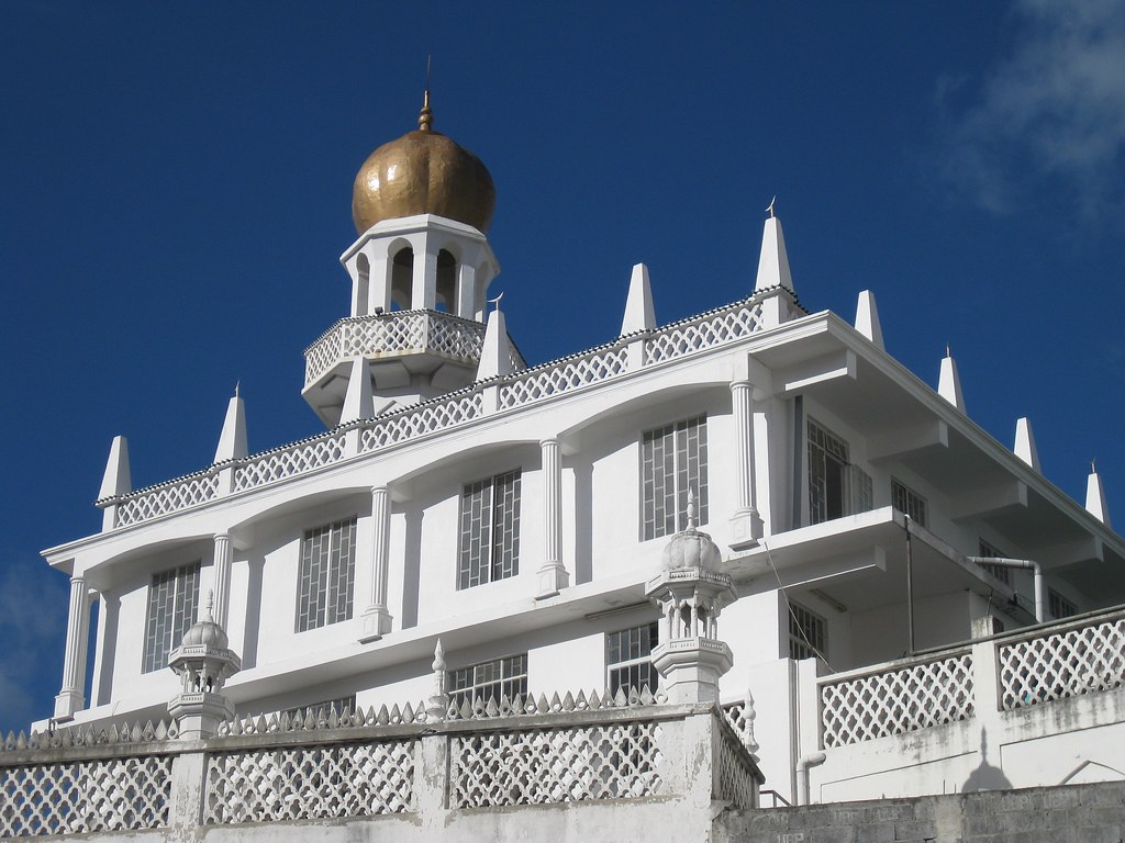
Islam is practiced by 17.3% of the Mauritian population. Approximately 95 percent of these are Urdu speaking Sunni Muslims. Memons and the Surtees are rich merchants who came from Kutch and Surat province of Gujarat in India, while the “Hindi Calcattias” came to Mauritius as indentured labourers from Bihar. The first purpose-built mosque in Mauritius is the Camp des Lascars Mosque in around 1805. It is now officially known as the Al-Aqsa Mosque. The Jummah Mosque in Port Louis was built in the 1850s and is often described as one of the most beautiful religious buildings in Mauritius by the Ministry of Tourism.
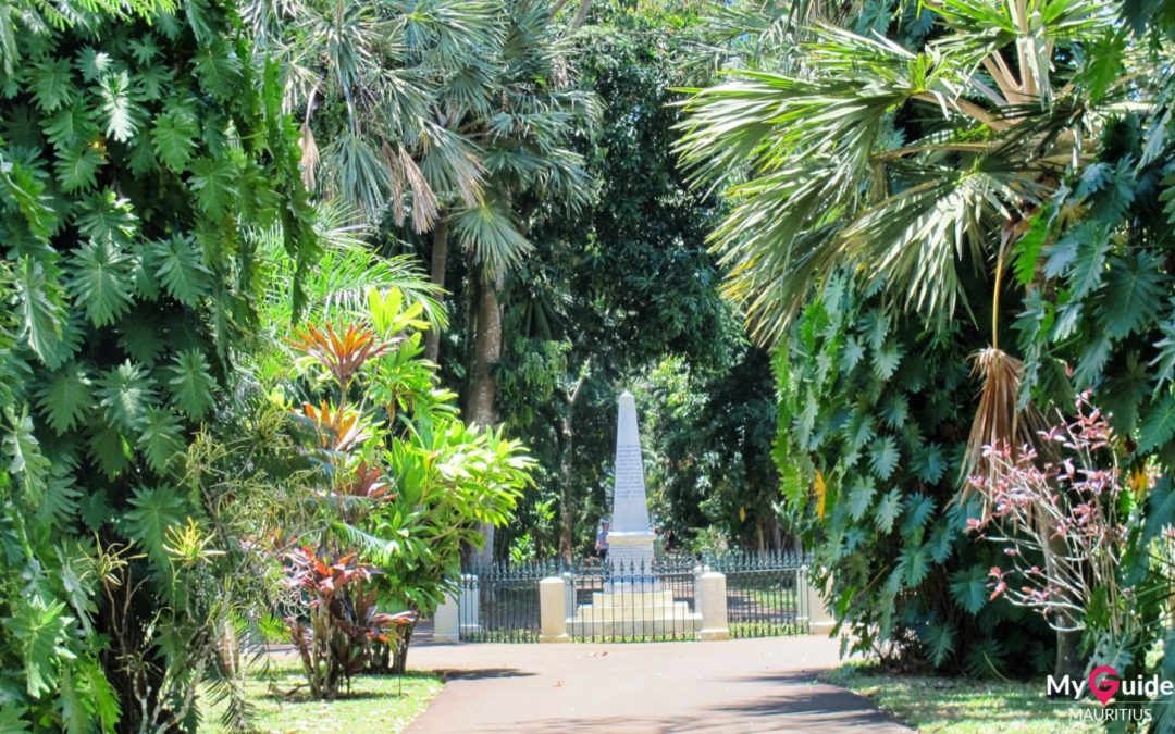
The Botanic Garden, formally known as Sir Seewoosagur Botanic Garden, is one of the most visited attractions in Mauritius.
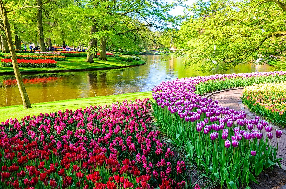
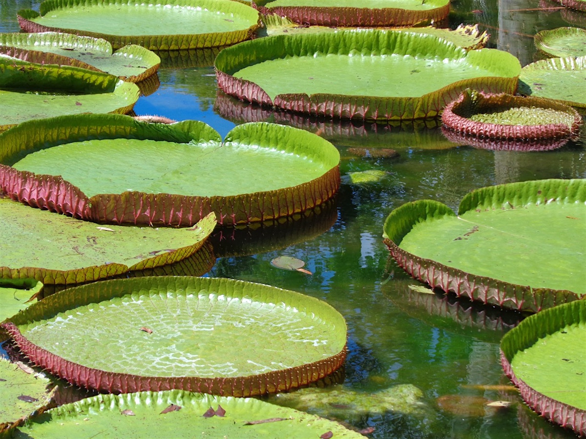
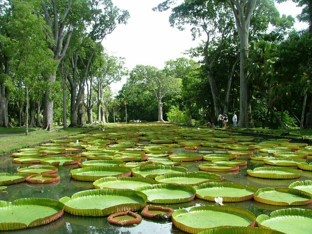
The garden is located in the proximity of Port-Louis. The botanical garden was first opened nearly 300 years ago. It is populated with more 650 varieties of plants including the famous Baobabs. There are also 85 different varieties of palm trees brought from different corners of the world. The garden also contains the Palmier Bouteille, the Giant Water Lilies, dozens of medicinal plants, a large spice garden and many more. You also can enjoy the smells of ginger, cinnamon, nutmeg, camphor, lemon, eucalyptus, sandalwood, and others.
There is a 200-year-old Buddha-tree and the crosstree, with leaves shaped like a cross. You can visit the Java Deer reserve and the giant Aldabra tortoise park.
Castle of Mon Plaisir, built by the British in the middle of the 19th century, which is a historical monument, is also found in the gardens.
The garden covers an area of around 25,110 hectares (62,040 acres). Entrance fee to the garden is $8 per adult and children under the age of five are admitted free of charge. Guides are available at the entrance of the garden. A guide will cost 1 euro/hour per person. The payment for the guides is made at the entrance of the botanical garden.
The garden management request the visitors to refrain from feeding the animals both aquatic and terrestrial, plucking flowers, fruits or any other plant, lighting fires, swimming and fishing, throwing coins in ponds or on water lilies, consuming alcoholic drinks and smoke, and climbing on the trees, monuments, buildings and structures.
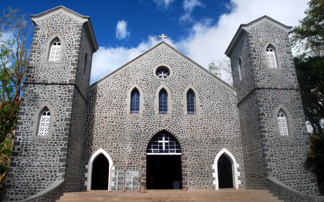
Saint Gabriel church is located at the heart of Rodrigues Island and has one of the largest Port Louis diocese congregations. The religious building serves as a cathedral of the Catholic Church’s Apostolic Vicariate of Rodrigues. About 32.7% of the Mauritian population adheres to Christianity and Christian beliefs. Christianity was introduced in Mauritius with the arrival of the Dutch.
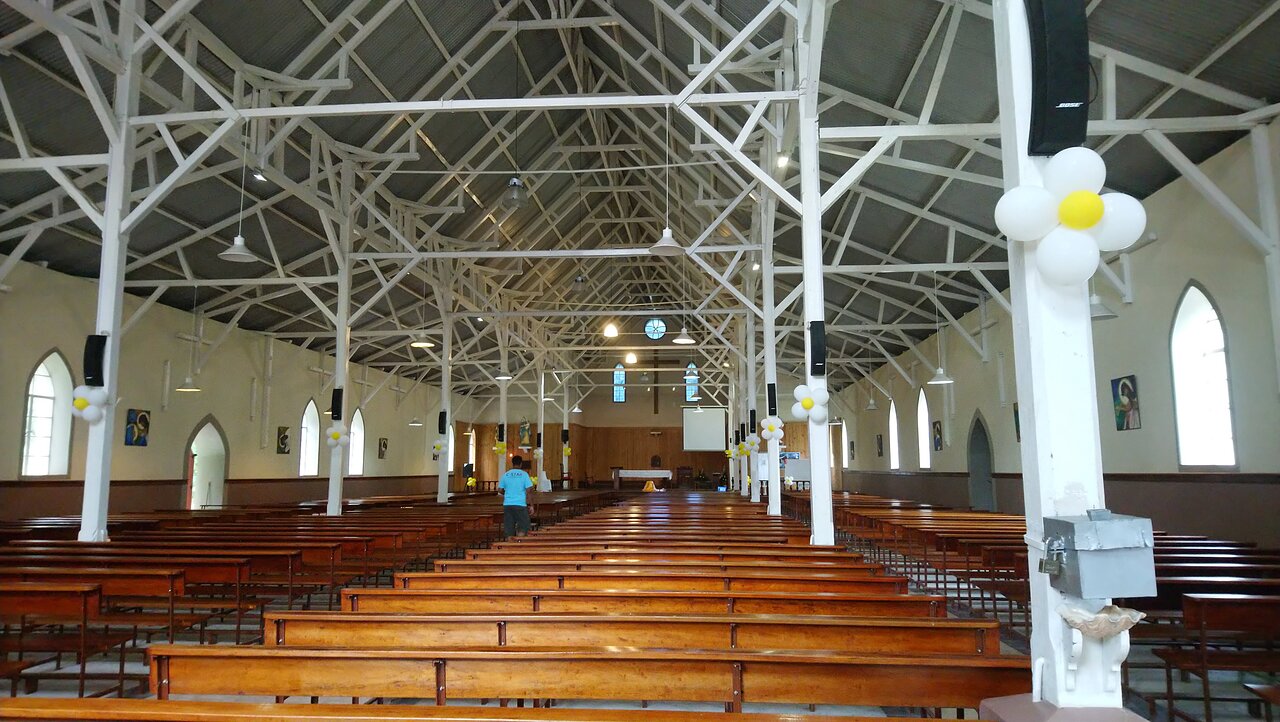
The parish of Saint Gabriel, the largest in Rodrigues, includes 33 villages. Placed at the heart of this parish territory, the newly renovated cathedral is a place of worship for more than twelve thousand parishioners.
It is also the seat of the bishop of the Apostolic Vicariate of Rodrigues. Hundreds of people from all parts of the island gather here every Sunday for the Mass.
Hardworking local volunteers hoisted sand, stone and corals from all parts of the island to build this church, which was completed on 10th December 1939.
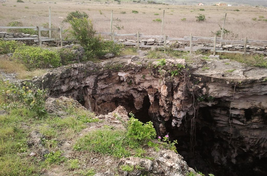
There are 2,000 feet of stalactites and stalagmites, which decorate the cave of more than 1000 meters long. The cave is located in the village of Petite Butte. The relief and the tints of the vault are the principal charms that fill one with wonder.Usually guides will accompany you with electric torch, as there is no artificial light inside the cave. The last visit is at 3 p.m. It is advisable for you to carry your own torch as well in case you get lost in the trail.
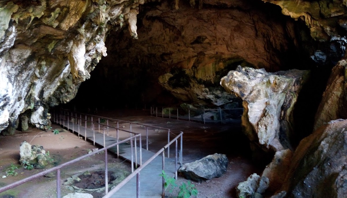
The tourists are allowed to go inside the cave on their own, without taking the help of a guide, but a guided tour is recommended if you’re interested in knowing more about the cave and the various formations inside it. Some places in the cave could be slippery and require some tricky maneuvering. This is where the guide can help you to get through the slippery parts. You may want to wear shoes with good grip and take a light jacket.
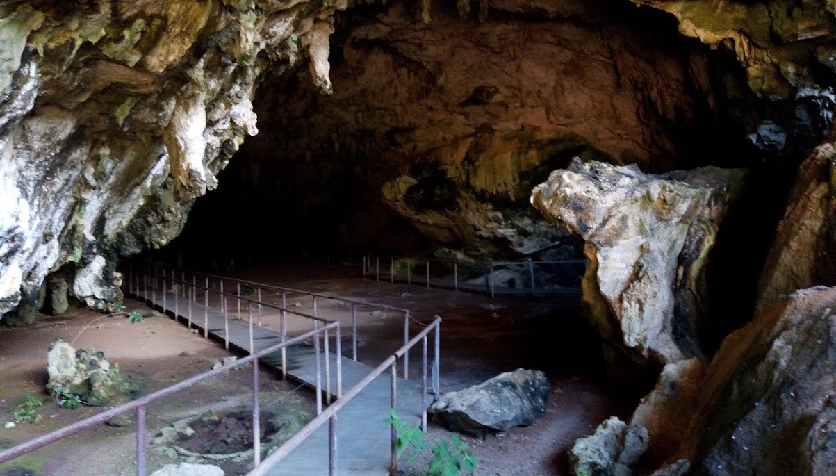
Literally translating to ‘Sweet Potato Cave’, it is now famous as the longest limestone cave not just in Rodrigues, but in the entirety of Mauritius as well. A visit to the Caverne Patate is a visit to a place that is as old as time itself.
Rodrigues island is home to quite a few caves and caverns which were used in the ancient times by pirates to hoard their treasure.
You need a permit issued by your hotel in Rodrigues or by the “Terres” office in Port-Mathurin to access the cave. As for the natural site, it is accessible 4 times a day: 9 am, 11 am, 1 pm and 3 pm. Helmets are mandatory during the visit. Torches are also supplied with helmets at the entrance.
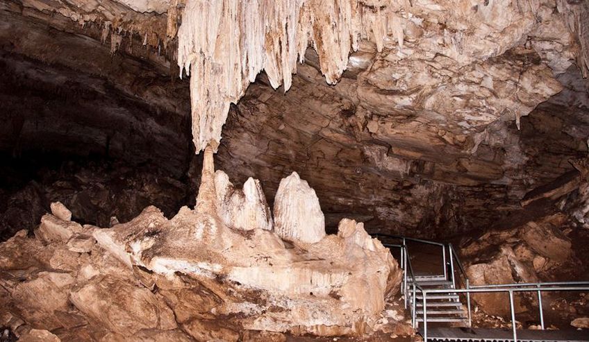
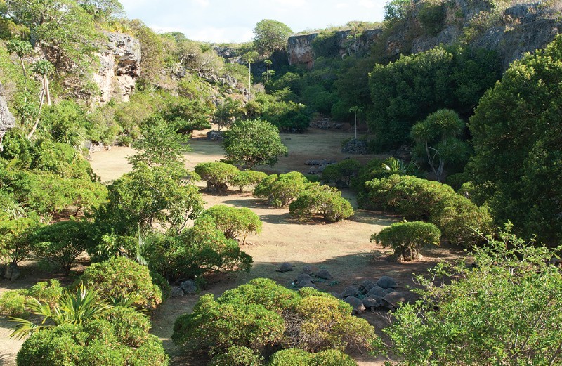
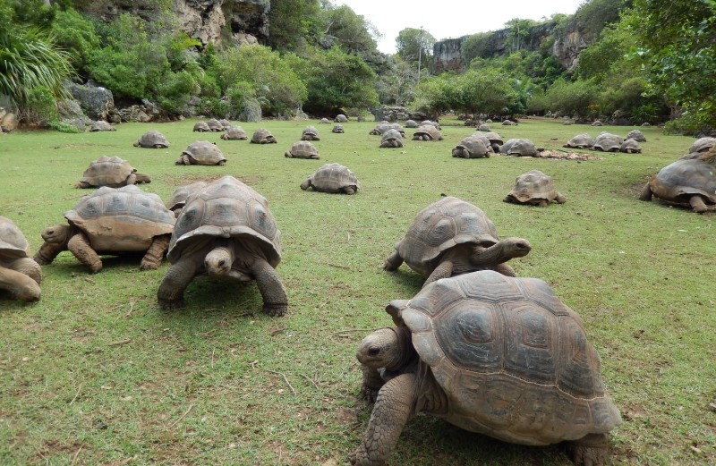
François Leguat Giant Tortoise Reserve is located in Anse Quitor in the Southern coast of Rodrigues island. It is a nature reserve of 20 hectares rich in flora and fauna and spectacular caves. The reserve with the introduction of endemic plants, shrubs and trees, along with protected animal species looks what it was 300 years ago.
The reserve first opened in August 2007as a part of the project La Vanille Reserve in Mauritius. It is named after the 18th century settler François Leguat, who recorded much of the island’s natural flora and fauna before it went extinct.
The reserve is only a few hundred meters from the Rodrigues airport and is right beside Anse Quitor Nature Reserve.
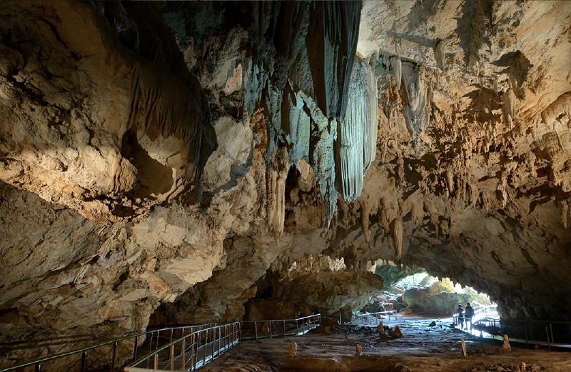
There is a 2km-long walkway through the reserve, surrounded by emerging forest and some very rare plants, along with the luxuriant greenery. On your walk you will come across the giant tortoises which were once present in large numbers. The reserve is now home to over 3000 tortoises and 300,000 plants. The tortoises are well protected and are under careful surveillance now. The tortoises played a crucial role in the health of the island’s indigenous vegetation and ecosystems. Their movements and grazing rejuvenated the vegetation. They also caused the dispersal and germination of the seeds of many plants.
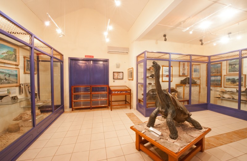
There is also the 500 meters long “Grande Caverne” where your guide will point out the weirdly-shaped stalactites and stalagmites. The cave is well-equipped with lights, handrails, and walkways.
There is also a museum, several education centres,information areas,restaurant, and souvenir shop onsite.
The reserve offers guided tours every day at 9.30 a.m, 10.30 a.m, 1.30 p.m, and 2.30 pm.
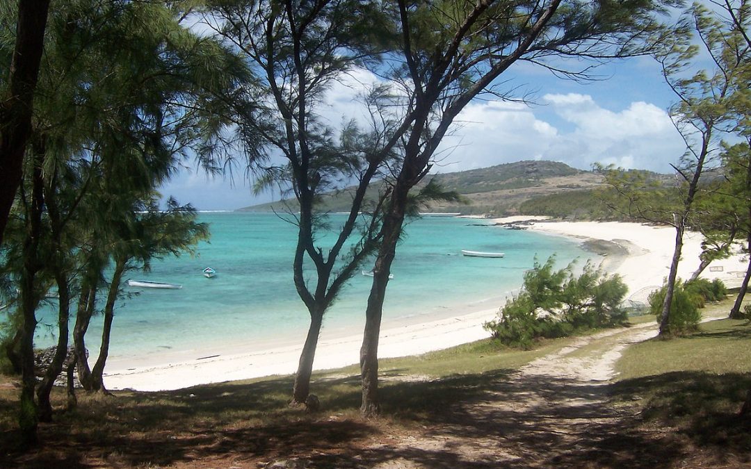
If you want to get a close view of the natural surroundings of this volcanic island, then you can set off to the gorgeous eastern beaches of the island, notably Anse Ali, Pointe Cotton, Fumier,Saint Francois and Trou d’Argent, which is in fact best done by walking.
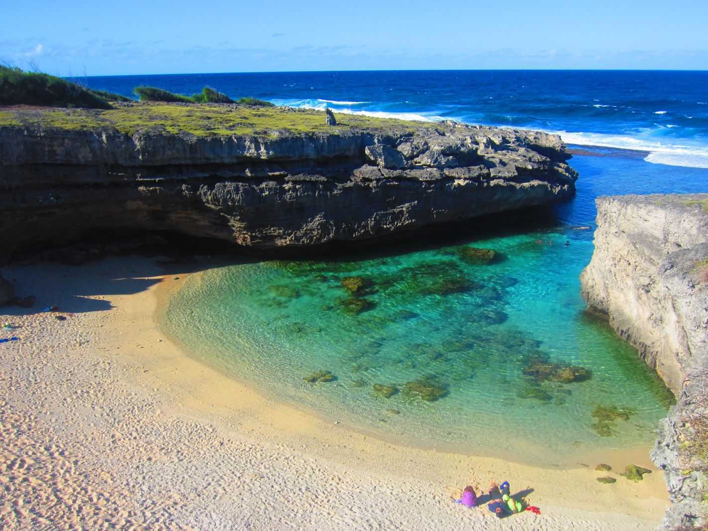
Trou d’Argent has recently been ranked among the 30 best preserved beaches in the world. This sandy beach is not accessible through four wheeler so be ready for long walks if you really want to enjoy the peaceful environment that this place has to offer. You can get there with moderate effort by walking along the coastline and preserved narrow creek-like coves. The beach is surrounded by cliffs and offers a calm, relaxing environment. It encloses three coves. The best time to visit this place is between February to April or September to December.
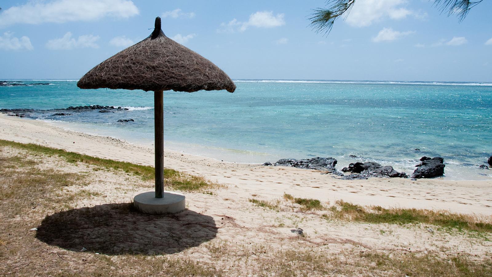
Pointe Coton beach is famous for its rock formations of coral origin. Along the beach there are shady casuarina groves which serve not only as a spectacular background, but also as reliable protection from strong winds. The beach got its name from the beach where it is located. The popular hiking trail starts from here. The hikers leave from the bus stop for a hike of at least 2 hours along a 6-kilometre trail. The resort area of the island where the beach is located is replete with resorts and restaurants for every taste and budget. The coastal shallow water guarantees a safe swimming, parasailing, banana boating and water skiing.
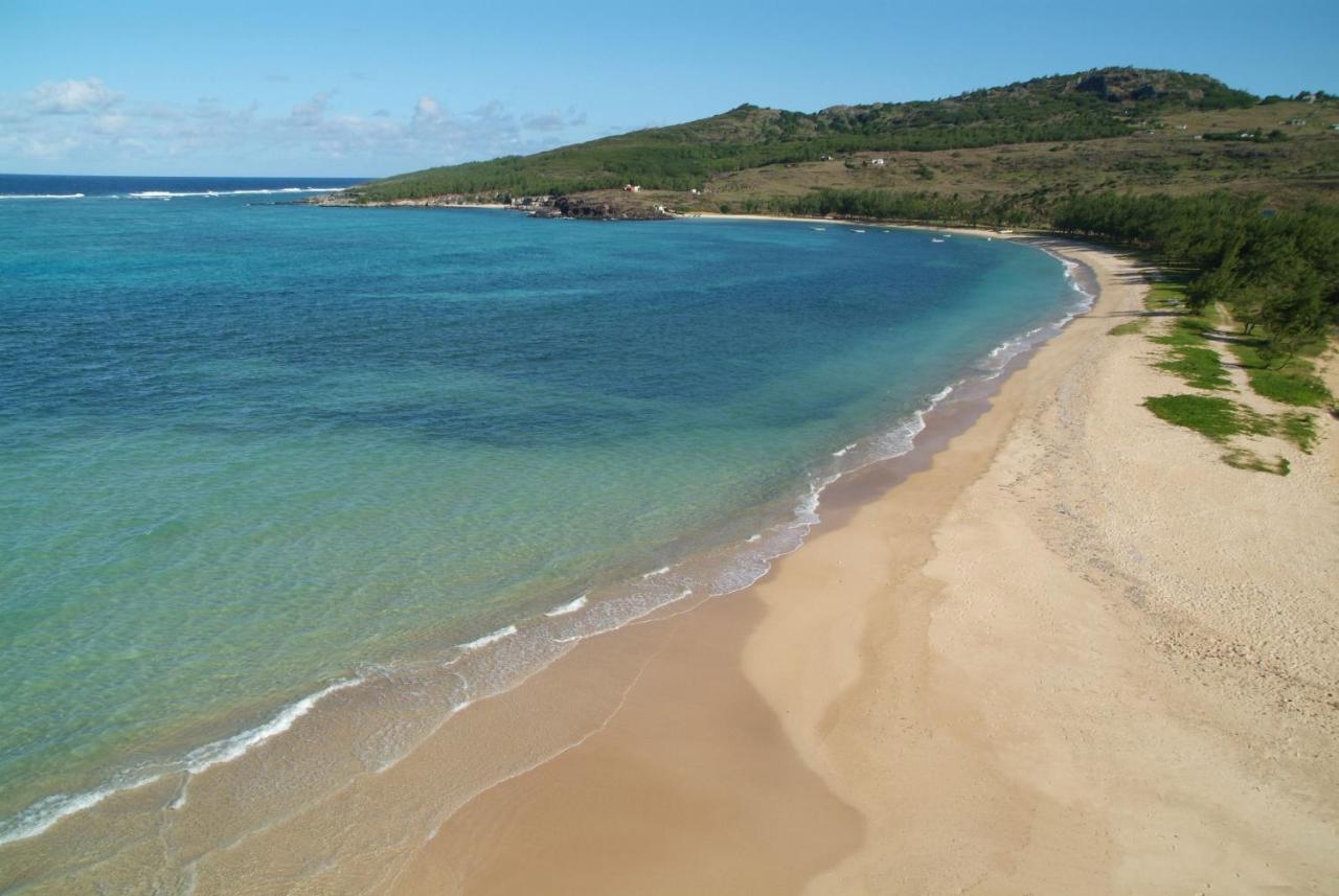
Saint Francois beach is a scenic viewpoint in Rodrigues. It is situated near Solange et Robert, and close to Solange & Robert guest house. The beach is lined with casuarina trees. Auberge St Francois and Tekoma Boutik Hotel are two of the hotels near St Francois beach.
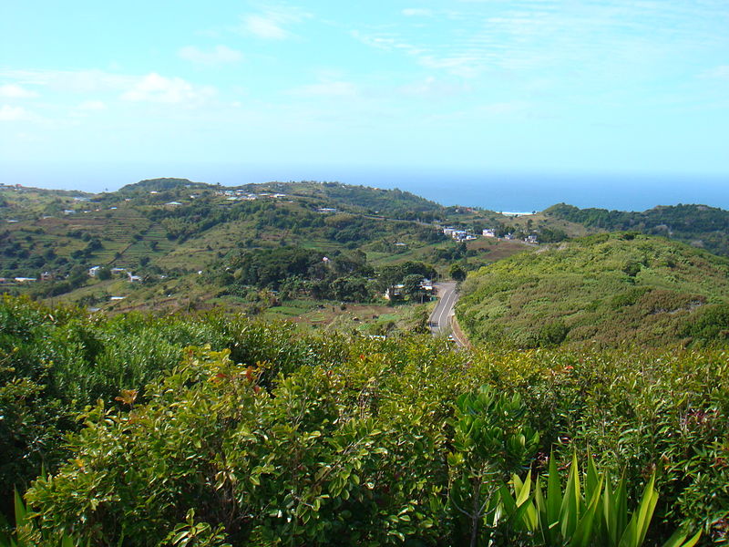
If you want to have a panoramic 360° view over the island, then you go to Mont Limon. This is the highest point of the island at 1,300 ft above sea level, and is situated at the heart of the island. It is easy to access because it is close to Port Mathurin. Sometimes the top of the mountain will be covered with fog and it may be chilly due to the altitude.
Due to the hilly landscape of Rodrigues, it literally takes less than 5 minutes to reach the summit. There’s no parking lot but you can leave your car on the other side of the road. The path is well-marked and easy to follow thanks to the orange and purple markings.
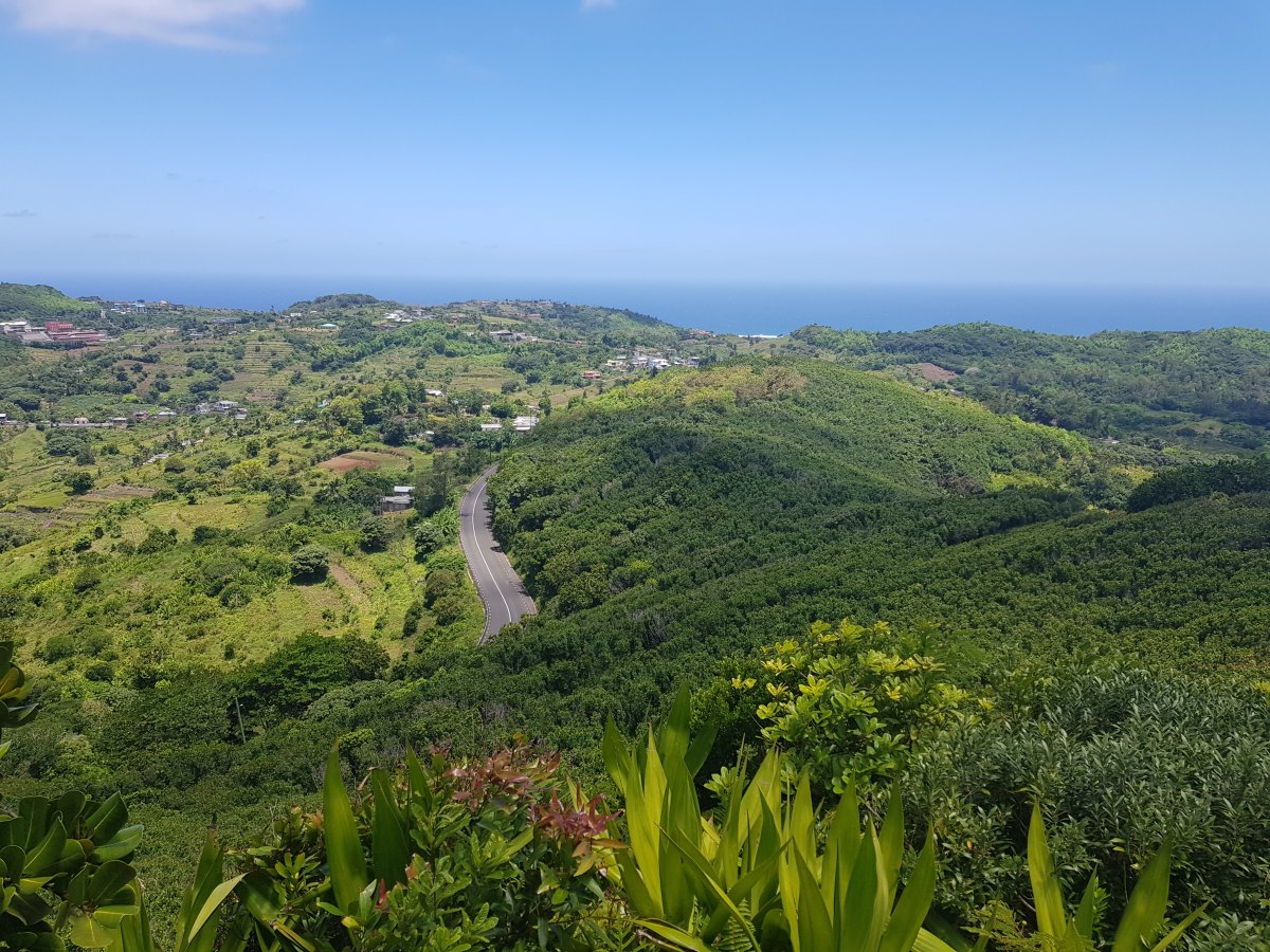
Beside magnificent views of the island, you also get to see the gorgeous geological relief, agricultural terraces, and the azure blue ocean.The temperature there is slightly elevated, and due to this, there is plenty of lush green vegetation.
Most people only visit the main viewpoint but once you get to the summit, take the path on your right and you’ll find other scenic lookout points.