No Results Found
The page you requested could not be found. Try refining your search, or use the navigation above to locate the post.
The page you requested could not be found. Try refining your search, or use the navigation above to locate the post.
Features information that is relevant to travellers who are thinking about and actively planning a visit to Mauritus.
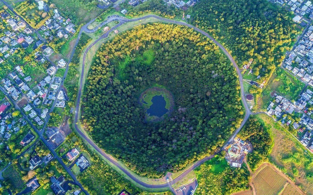
Île aux Aigrettes is a tiny coral island (27 hectares) just off the coast of the town of Mahebourg. It is the largest islet in the Grand Port bay, 850 meters off the south-east coast of Mauritius and roughly a kilometer from the coastal town of Mahebourg.
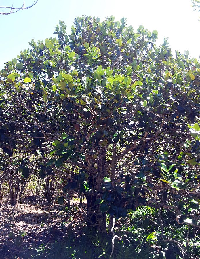
The island has been declared a nature conservation site and today is being preserved by the Mauritian Wildlife Foundation. It is also a popular visitor attraction – both for tourists and for Mauritians.
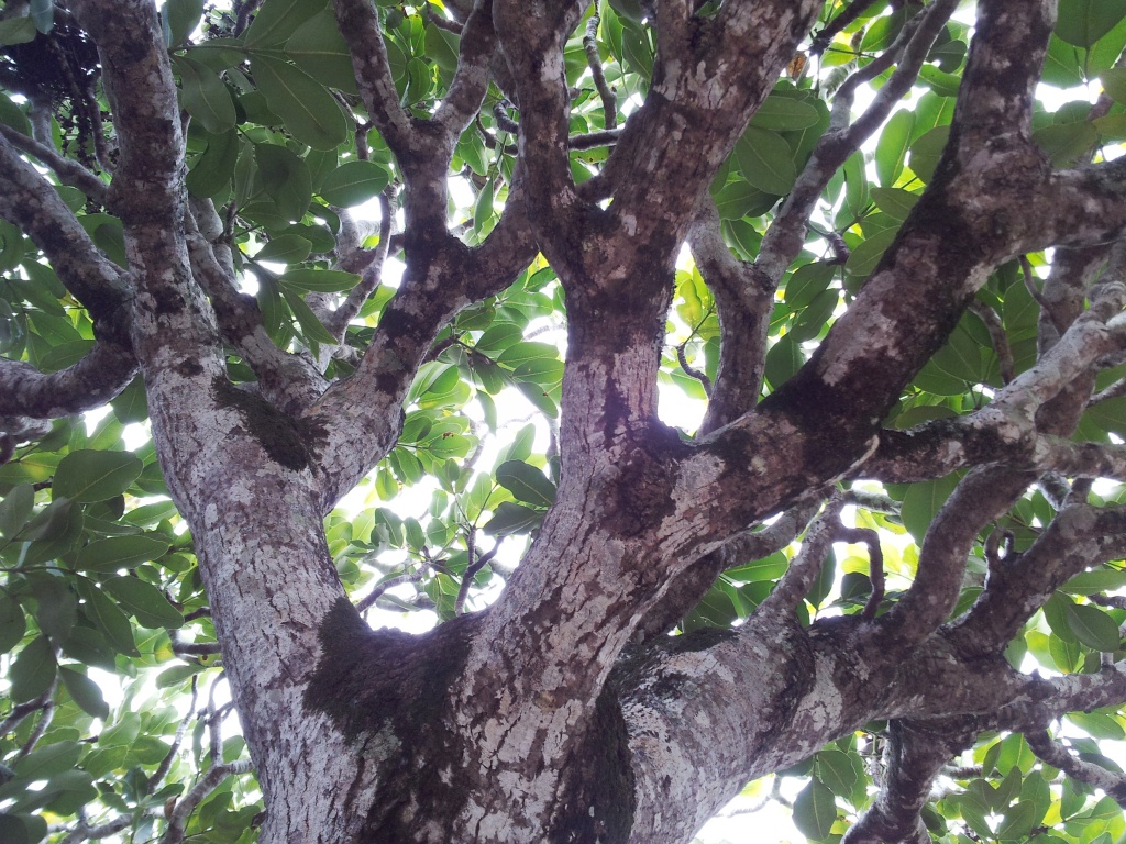
This island is considered an international standard for the protection of natural resources and endangered species.
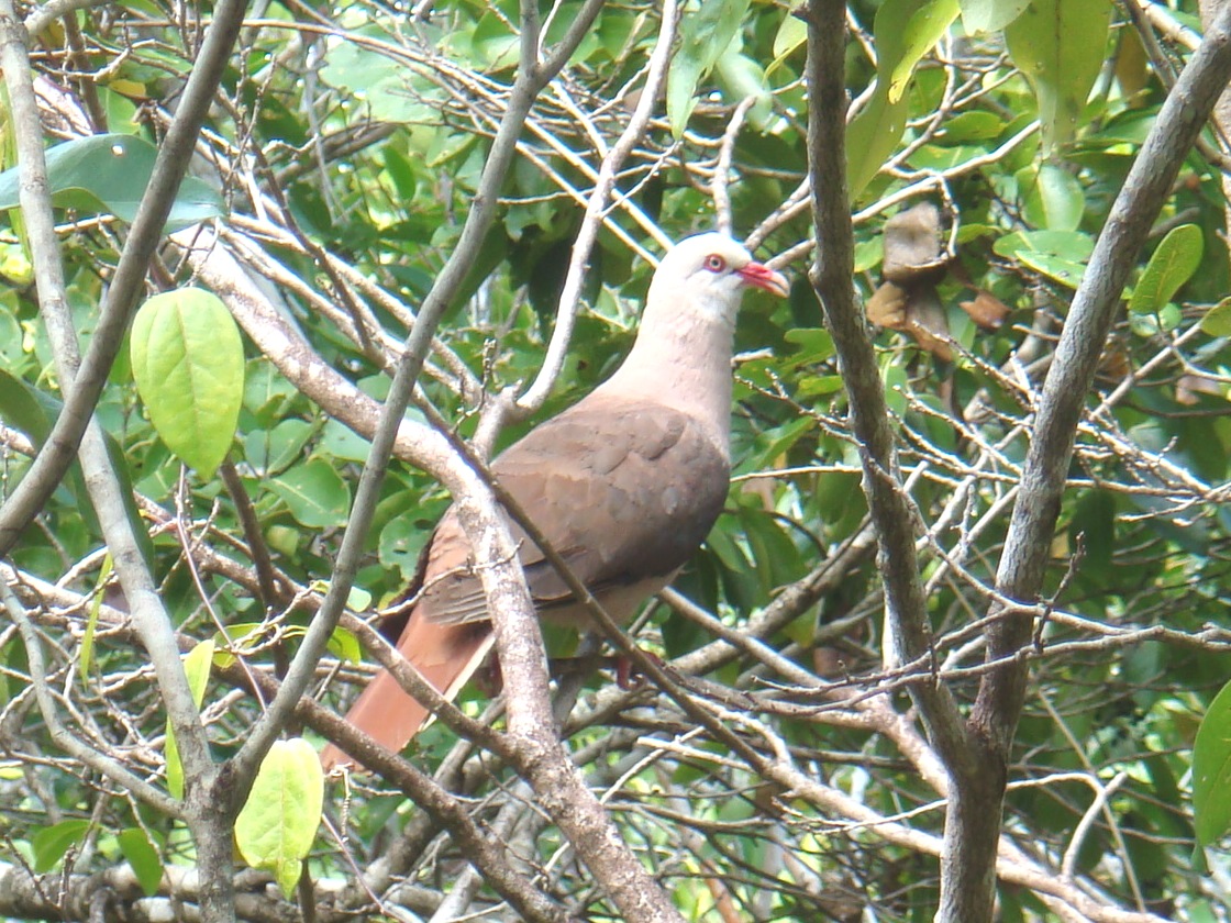
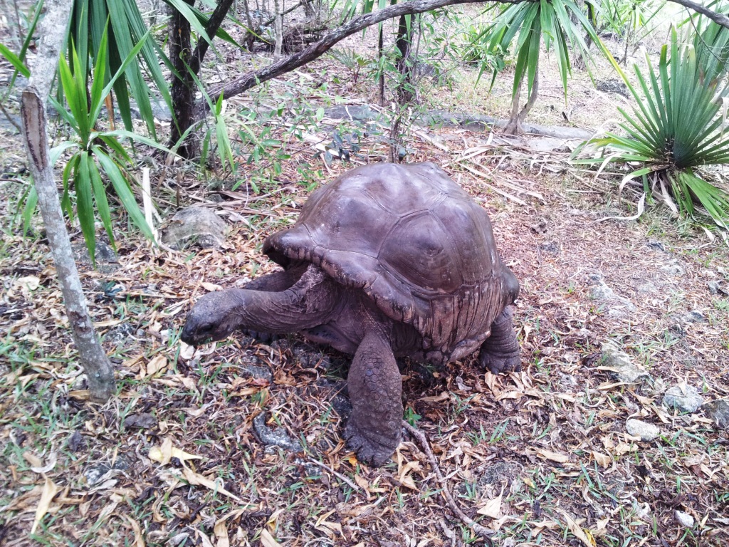
A few of the world’s rarest birds, including the kestrel, Pink Pigeon, the Green Gecko Phelsuma and the Aldabra giant tortoise can be seen here. Eighteen Mauritian plant species which grow on the island are classified as endangered or very rare.
One of the local species of ebony, Diospyros egrettarum (named after the island) is found here.
Gastonia mauritiana (“Bois boeuf”) forming part of the forest canopy here.
A non-indigenous Aldabra giant tortoise was brought to Île aux Aigrettes to take over the ecological role of the extinct Mauritian tortoises.
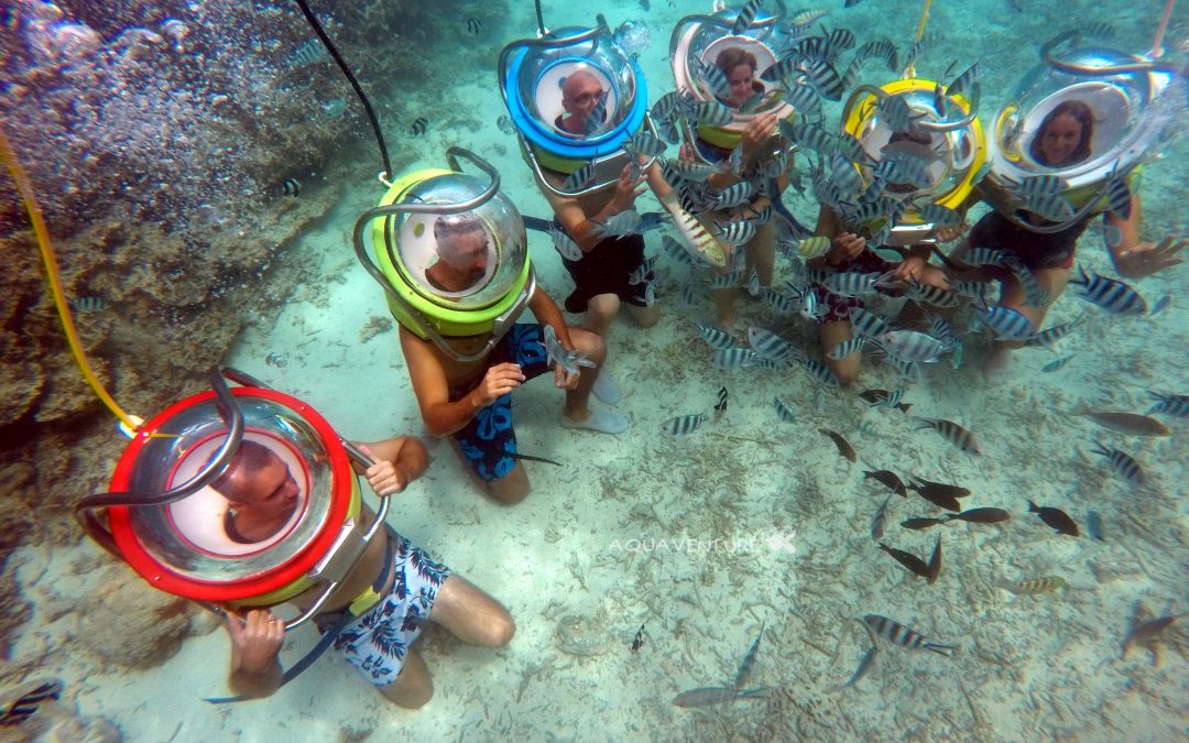
The Underwater Sea Walk is one of the most unique attractions that one must experience when visiting Mauritius. It is a good experience for all the non divers.
The underwater walk is a safe and fascinating walk on the ocean bed (about 3-4m depth), where you can witness firsthand the marine life of Mauritius, the beautiful fauna, corals, and a wide variety of fish, all in their natural habitat. The Walk does not require any knowledge of swimming or diving and you are not even required to remove your glasses.
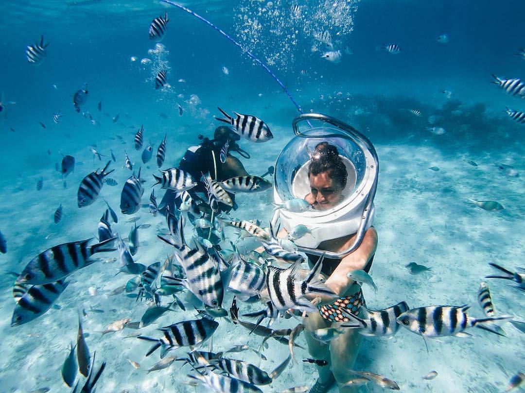
A helmet with a transparent visor is placed on your head. This equipment weighs 45 kg. You should be strong enough to carry this weight on your shoulders. A special apparatus allows normal breathing under the water. This trip is not recommended for pregnant women. Life Guards assist in taking you underwater and accompany you throughout the walk to guarantee your maximum safety. Total time of the excursion is approx. one hour (walk itself takes about 12-15 minutes).
The operating hours of the sea walk are between 9:00 and 14:30. You should have your own swimming costume and a towel.
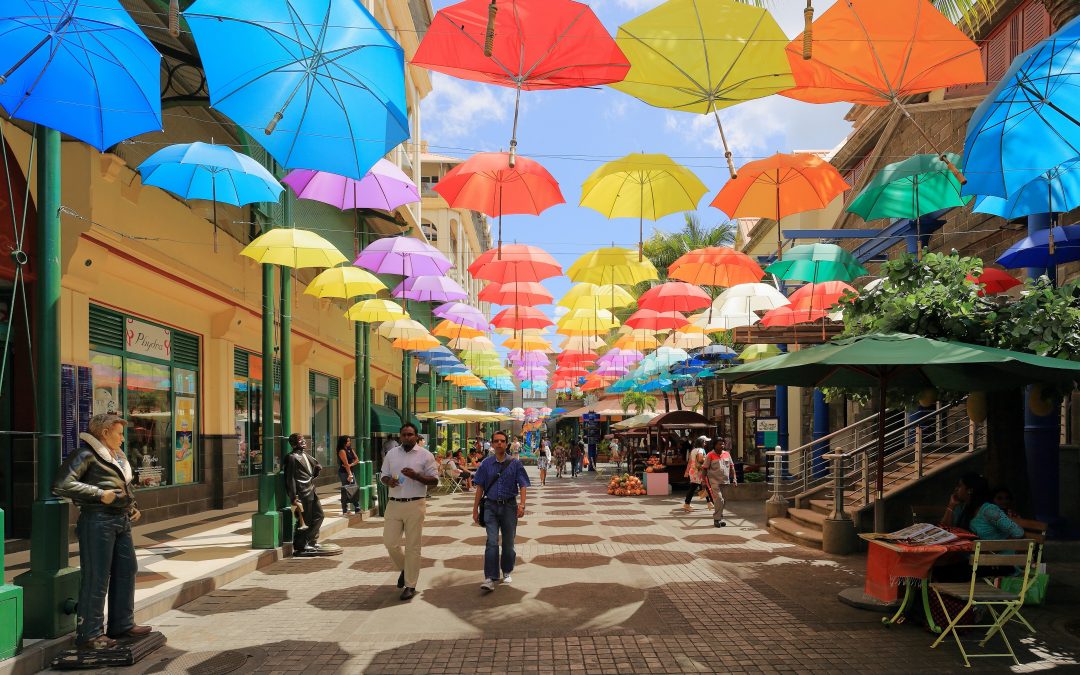
Port Louis is the capital city and main port of Mauritius. It is also the largest city in Mauritius. Port Louis was constructed in the year 1735 by the noted French governor, Mahe de Labourdonnais.
The Port is named in honour of King Louis XV.
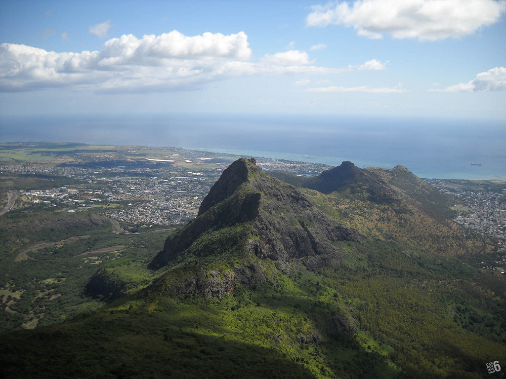
Port Louis is surrounded by a mountain range, called the Port Louis Moka Range. Mauritius Capital Port Louis has conserved many historic and colonial buildings through the years. One of them is a fortification named Fort Adelaide or La Citadelle, built by the British in 1835.
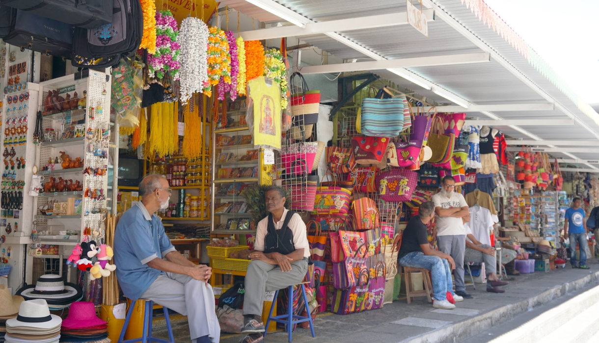
The main tourist attractions in Port Louis include the Caudan Waterfront, Port Louis Bazaar, Police Barracks, the Mauritian Chinatown and the old Port Louis theatre.
There are three museums: the Blue Penny Museum, the Mauritius Natural History Museum and the Mauritius Stamp Museum.
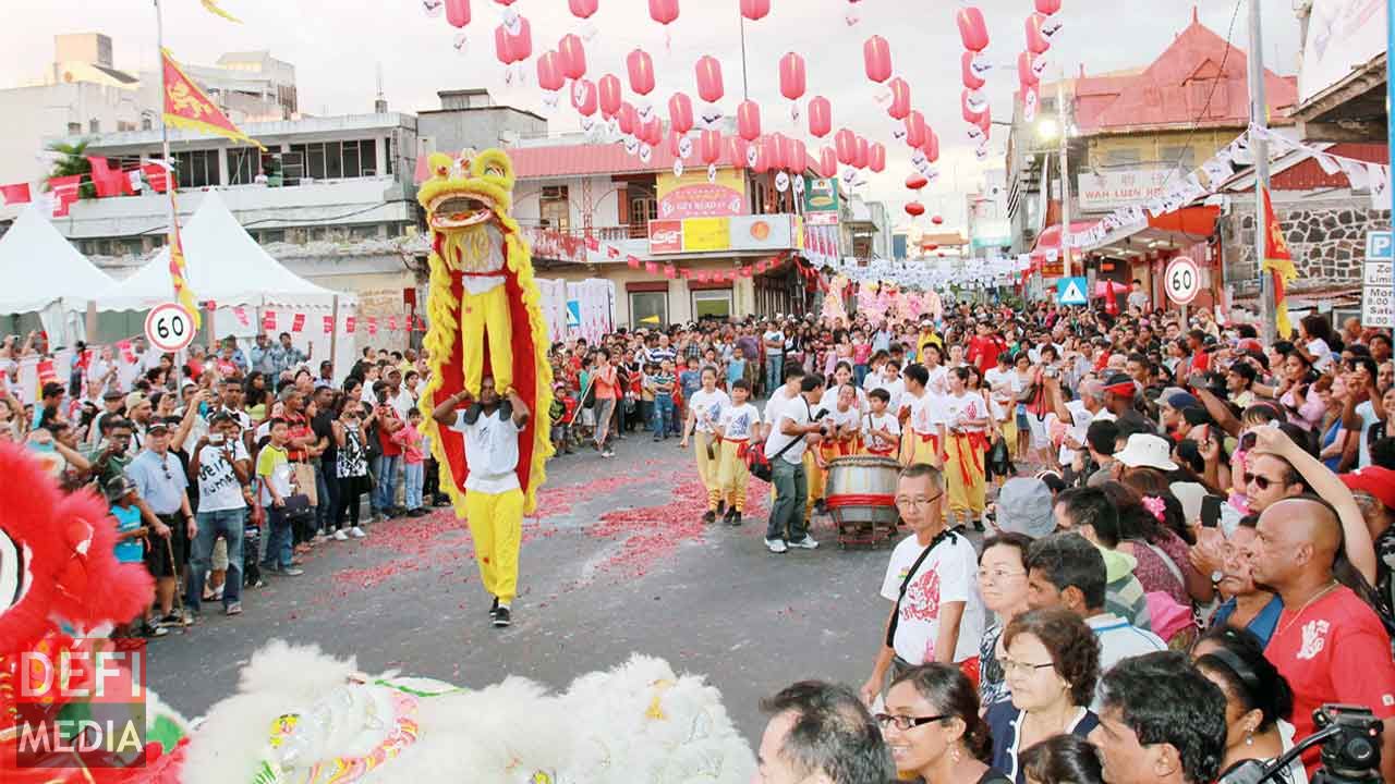
The economy of the city is dominated by its financial centre, port facilities, tourism and the manufacturing sector which include textiles, chemicals, plastics and pharmaceuticals. Port Louis has the biggest port facility in the Indian Ocean region and one of Africa’s major financial centres.
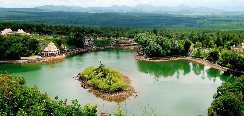
Grand Bassin, known also as Ganga Talao is a lake situated in a secluded mountain area in the district of Savanne, deep in the heart of Mauritius. It is about 600 meters above sea level.
The Hindus of Mauritius consider the Grand Bassin as a Holy lake and that the water inside the lake communicates with the waters of the holy Ganges of India.
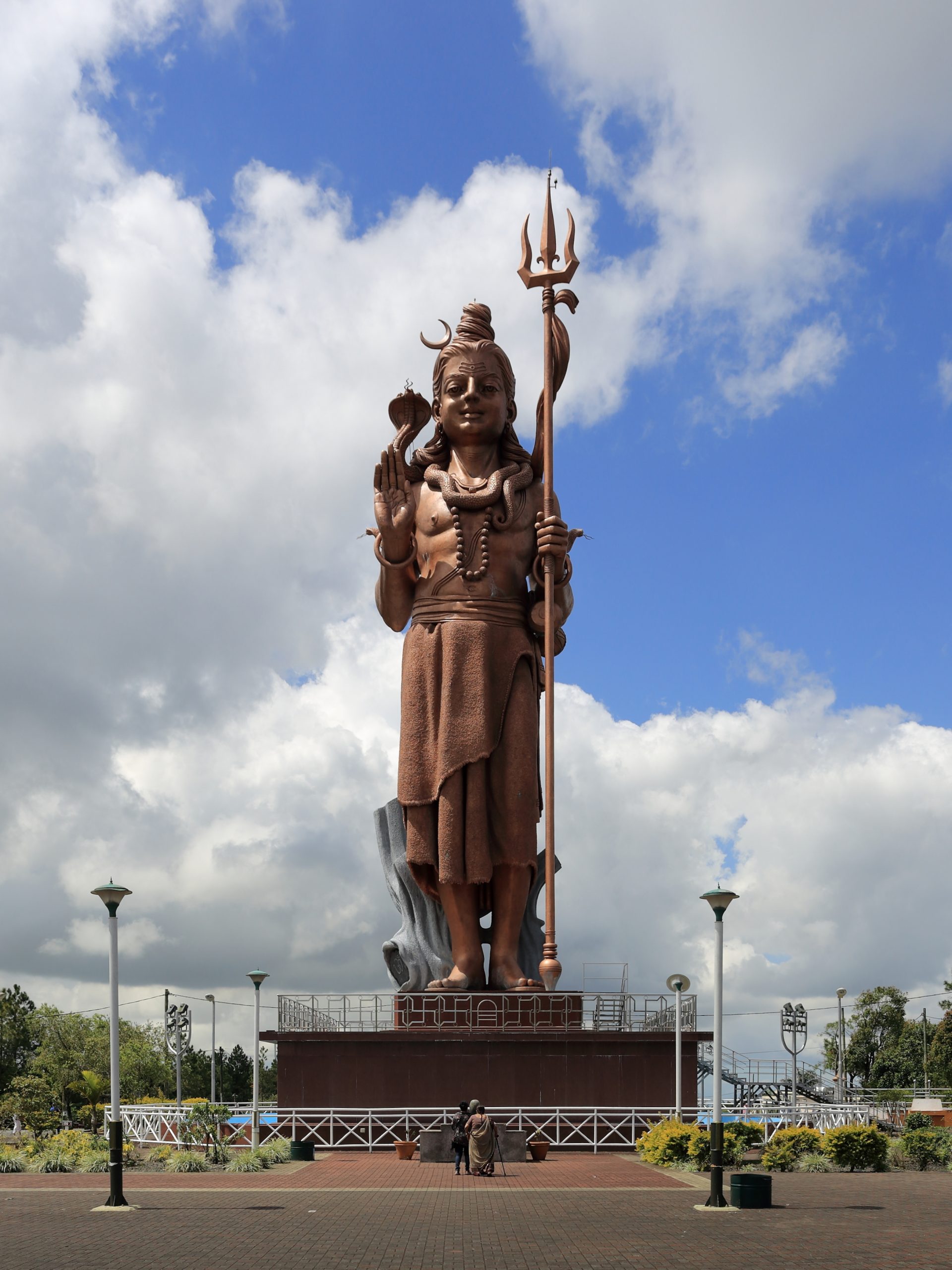
The Hindu community performs a pilgrimage there every year on the Maha Sivaratri (“Siva’s Great Night”), on this day they honor the Lord Siva. Beside the lake there is a temple dedicated to Lord Shiva and other Gods including Hanuman and Lakshmi. Also, overlooking the lake is the statue of Mangal Mahadev (Shiva statue) which is 33 meters, making it the highest statue in Mauritius.
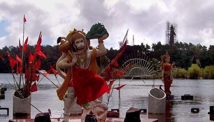
The Grand Bassin Mauritius map gives you clear directions to the sacred lake and the tourist spots nearby that you can visit.
Also, don’t forget to take off your shoes while entering the Lake complex and the temples.
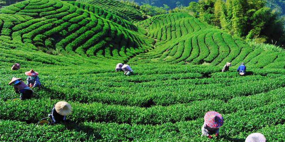
On this guided tour you will discover the making of teas, rum, vanilla, essential oils, and you will also stroll down the exotic gardens of the Bois Cheri tea plantation.
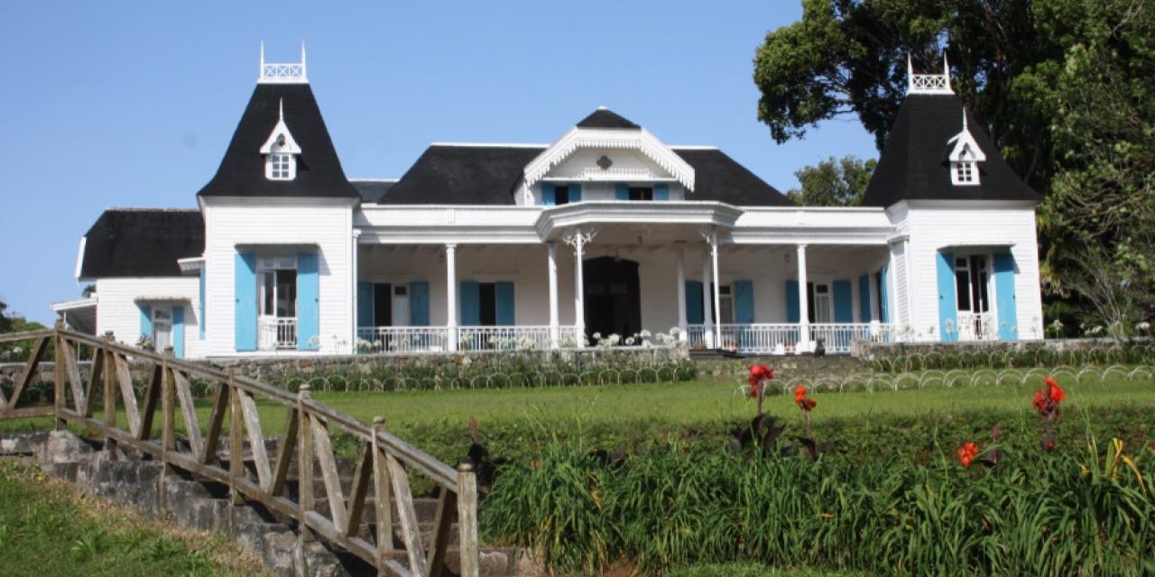
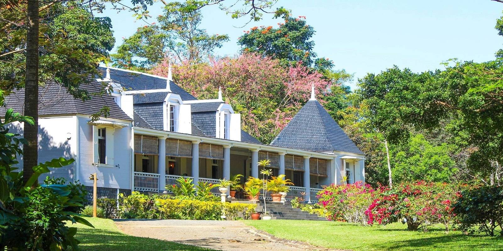
You will visit the Domaine des Aubineaux and its gardens. It is a colonial house built in 1872, which has been converted into a museum dedicated to the history of Mauritian Tea. In the gardens around Domaine des Aubineaux you will visit Camphor tree garden with a diversity of exotic plants as well as trees of the endemic forest, and enjoy the beautiful sight of the tea plantation.
After that you will visit Bois Chéri which is the second stop in this tour. The Bois Chéri is the first and biggest tea producer in Mauritius, operating since 1892. You will also get to see the tea production museum.
This tour will take 5 to 7 hours and includes the following:
A guide to walk you through the Domaine des Aubineaux;
Visit of a colonial mansion-museum built in 1872;
Photo exhibition of the 19th and 20th Century;
Stroll across the garden ;
Visit of La Maison des Essences;
Tour across the gardens of the Domaine des Aubineaux;
A guided tour of the Bois Cheri tea factory;
Visit to the tea museum;
Visit to the tea plantation;
A tea tasting session at the chalet (tea & biscuits);
A guided tour of the Saint Aubin house;
Visit of the “Rum” House and Tasting;
Guided tour of the Sugar Factory and Le Moulin du Domaine de Saint Aubin;
Visit of the Vanilla House;
Visit of the Anthurium (flowers) la greenhouses;
Visit of the tropical garden and spice garden at Domaine de Saint Aubin.
You will end your tour with a special 5 course typical Mauritian lunch at the highly recommended restaurant of “Le Saint Aubin”.
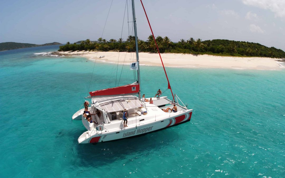
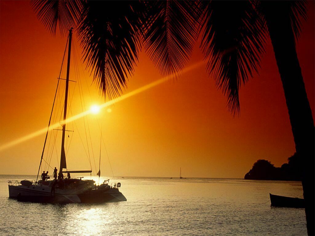
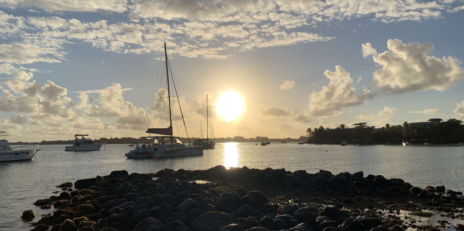
This two hour cruise on a beautiful 40 feet catamaran will let you enjoy the sunset from the ocean. You will be served with complimentary cocktails and snacks as part of the cruise.
The cruise starts at 17:00 from Grand Baie on the North of Mauritius. It will return to Grand Bay at 19:00. The cruise will head the direction of Coin de Mire Island (also known as Gunner’s Quoin). While you cruise along Coin de Mire you will be able to see the island from close and its spectacular sea cliffs. You will also get to see other northern isles and the central mountain range of Mauritius.
Sometimes you will be able to see whales as well as dolphins. If they appear, the crew will stop the boat, so that you may observe these great animals from close in their natural environment.
While on board,you will be able to get mineral water, soft drinks, South African wine, beer, special rum cocktails and a selection of canapés and Mauritian snacks.
This cruise is offered only during summer season (September – April) and only once a week on Wednesdays.
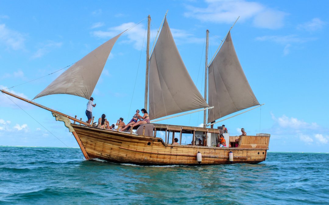
The 34-foot brown varnished boat made as a replica of a real pirate boat with two masts and five sails, takes you back in time to the olden days of the pirates. The boat has a capacity of 30 passengers. The boat has tarpaulin to protect against rain, and toilets on board.
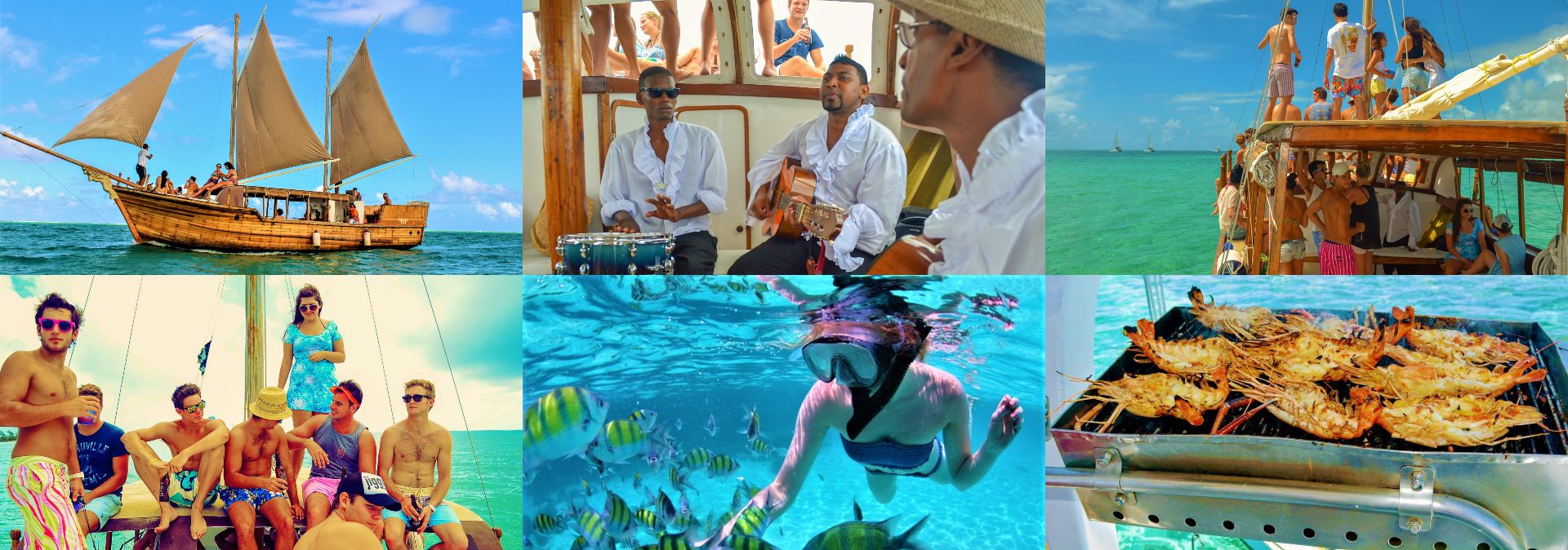
The full day cruise from 09:15 till 16:15, starting from Trou D’Eau Douce is on the East Coast of Mauritius. The cruise is full of sun, drinks, delicious food and a lot of fun and relaxation.
On this trip you will enjoy an exciting pirate show, live music, and dance. BBQ lunch and drinks are included in the package. You will also visit the South East waterfalls on the Grand River. After the visit to the waterfalls the boat will sail along the lagoon, cruising in its crystal clear water. It will then drop anchor in the lagoon for you to have a snorkeling or swimming break.
At around 12:30, you will be served a pirate’s lunch consisting of salads, potatoes, BBQ chicken, Fish and tropical fruits dessert. There will be a selection of drinks including water, coke, beer, local rum and white wine will be available.
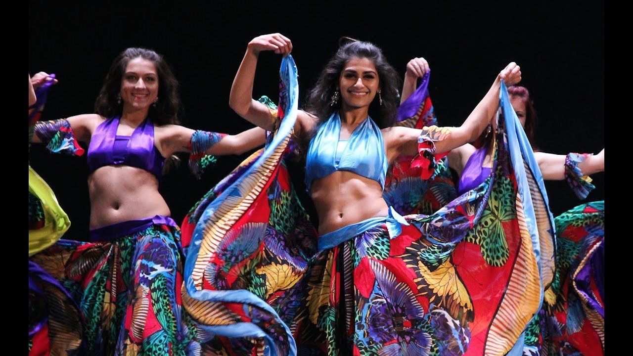
While you are on board, the crew will perform Sega dancing to keep the atmosphere lively and exciting throughout the journey. At around 12:45, the boat will sail to the paradise island of Ile aux Cerfs.
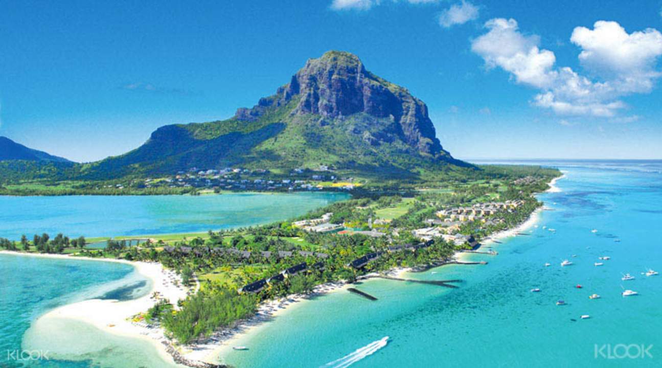
While in aux Cerfs you can enjoy a wide range of facilities available on the island and the various water sports activities such as parasailing, banana boat, fly fish and many more.
At around 15:00, you will leave Ile Aux Cerfs Island, and arrive at
Trou D’Eau Douce at about 16:15.