Curepipe Curepipe is by far one of the most densely populated areas within Central Mauritius, and...
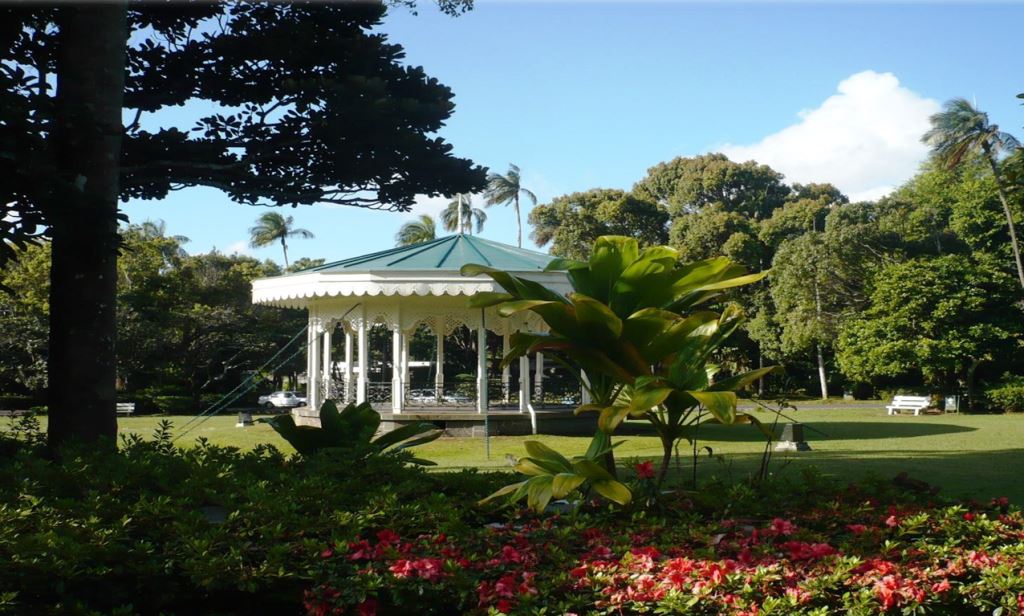

Curepipe Curepipe is by far one of the most densely populated areas within Central Mauritius, and...
Features information that is relevant to travellers who are thinking about and actively planning a visit to Mauritus.
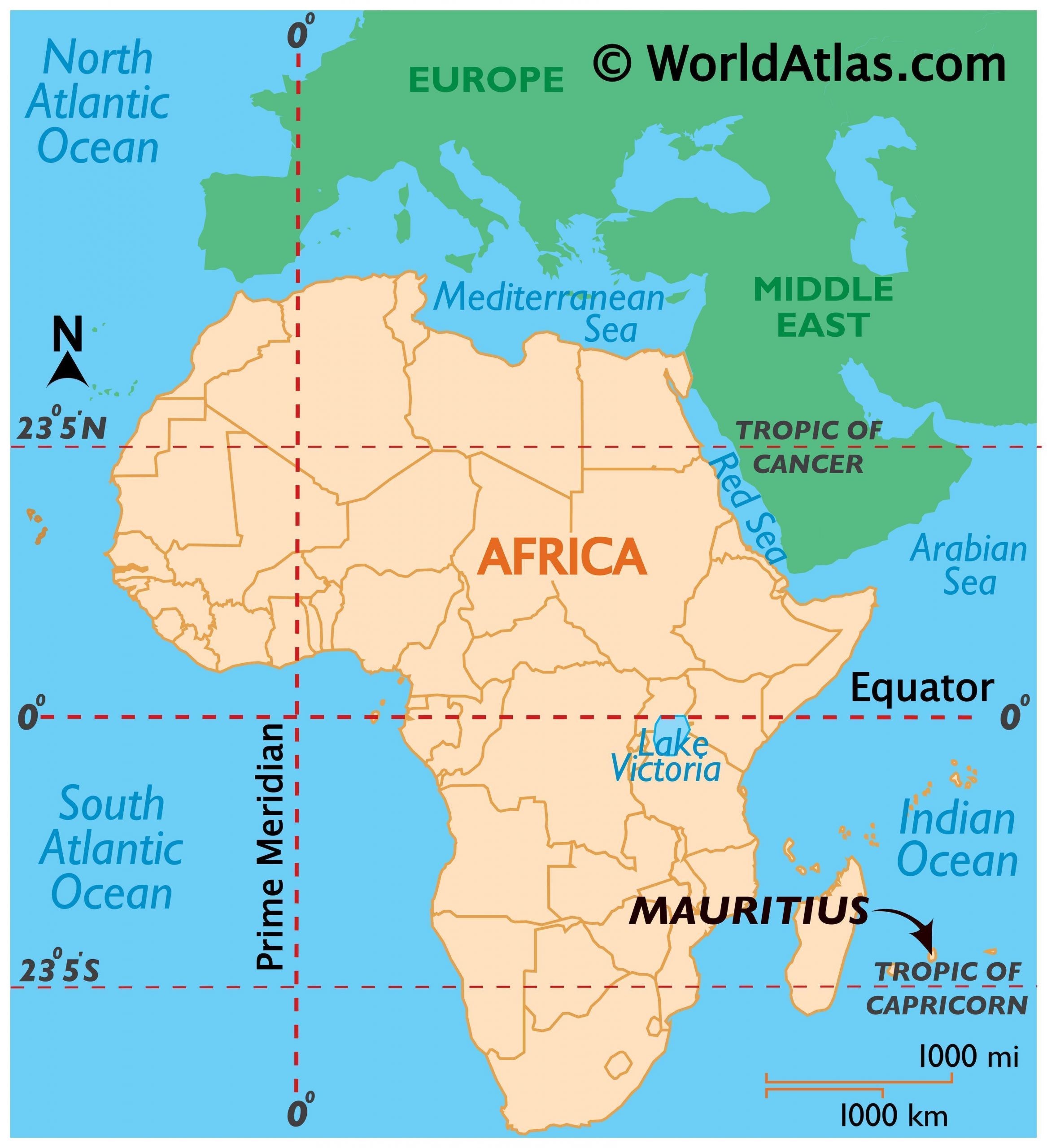
mauritius is an island in the Indian Ocean about 2,000 kilometers off the southeast coast of the African continent, east of Madagascar. It includes rodrigues, Agaléga and, the St. Brandon islands. port louis is the capital and the largest city where most of the population is concentrated.
In 1598 the Dutch took possession of Mauritius and abandoned it in 1710. France took control in 1715. In 1810, Great Britain seized the island and four years later France ceded Mauritius and its dependencies to Great Britain. It became independent in 1968.
the people of Mauritius are highly diverse in ethnicity, culture, language, and faith. It is the only country in Africa where Hinduism is the most practiced religion.
World Bank classifies Mauritius as a high-income economy. The country is a welfare state. The government provides free health care, free education up through the tertiary level, and free public transportation for students, senior citizens, and the disabled.
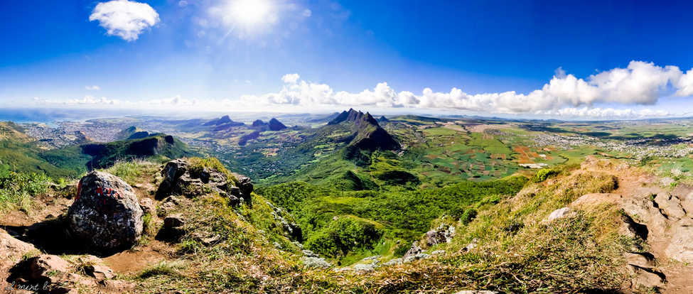
Your travel here can satisfy your short break for shopping, partying, sunbathing, fine dining, sporting events, and
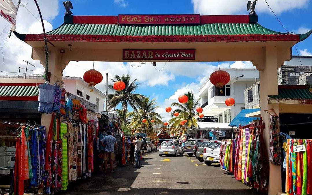
Mauritius is home to many markets where buyers get a wide variety of handicrafts and local goods. Located in the heart of Grand Baie, the Grand Baie Bazaar is where you will get a variety of stalls with souvenirs such as colorful bags, fabrics, handicrafts and gift items on offer. Stones, silver or gold jewelry can also be bought in several shops.
While you are at the Grand Baie Bazaar, check around the market to see if you can get a cheaper deal at another store. The quality of the mock-designer clothing is average, so do not be disappointed if your dress looks worn out after a couple of washes. The market is usually crowded on weekends and therefore beware of pickpockets.
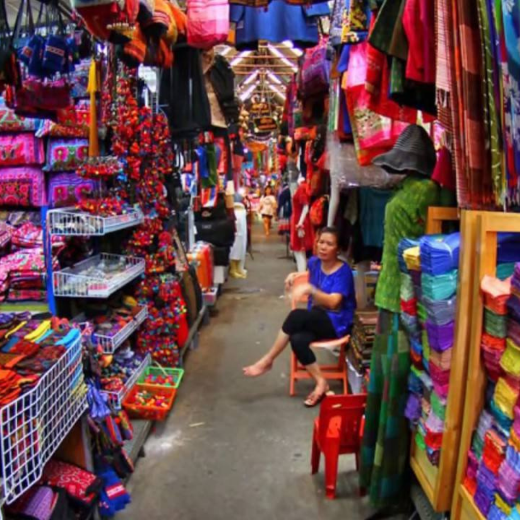
Grand Baie Bazaar is located away from the Royal Road in what may look like a hidden inland street. The street at the Grand Baie has shops lined at both sides of the alley.
Grand Baie Bazaar is the right place to buy Malagasy and Mauritian Crafts.
A wide variety of street food and snacks are also available in the food stalls in the market.
In Super U Hypermarket, which is located in Grand Baie, a self-caterer gets almost everything he can imagine. Baguette, jam, chocolate, mixed pickles, Indian masala – there is nothing you can not find here. Super U also has a wide choice of fresh foods like cheese, meat and fish, vegetables and fruits. Not only ingredients for a decent meal can be bought in the big supermarket, but also things like souvenirs, snorkeling equipment, clothes, shoes, books, magazines and newspapers.
‘Bluesteel‘, ‘Roxy‘, ‘IV Play‘, ‘Red Snapper‘ are clothing stores for the younger people. ‘Une histoire d´amour‘ provides lovely lingerie. Beachwear can be found at the same-named shop. ‘Lemon Yellow‘ has a wide choice of man´s shirts. If you are looking for jewelry, ‘Mikado‘ is the right spot. For evening dresses you go to the store ‘Tendances’. Even a pharmacy is also to be found.

If you go outside this area you will find even more shops on two floors. ‘Island Haze‘, ‘Fashion House‘, ‘Mr. Price‘, ‘Peace Angels‘ and ‘O`Neill‘ provide you with the latest fashion. Shops like Courts Home2Office and Happy World offer housewares, electrical and electronic devices. Of course you will also find jewelers, perfumeries like Mado or shops with accessories like Gurlz. Also a craft market is to be found which is decorated in an Asian style, where you can bargain not like in other shops. There are shoe shops, a wellness centre, a florist and also an optician.
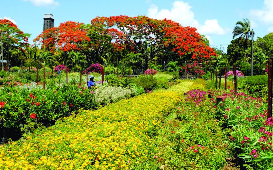
The Domaine de Labourdonnais is a historic destination in Mauritius. It has multiple activities revolving around its exceptional natural and cultural heritage. It has become a diversified business comprising four core activities: Leisure, Sports & Wellness, Agriculture & Processing and Real Estate.
Domaine de Labourdonnais is famous for its Château, a real jewel of the Mauritian heritage. Built in 1856, the Château de Labourdonnais was inhabited by a Mauritian family for over 150 years. In 2006 Château de Labourdonnais underwent major restoration works to be restored to its former glory. Today, Domaine de Labourdonnais has become one of the most attractive cultural places to visit in Mauritius. The whole estate, especially the Château, reflects the 19th-century art of living in Mauritius.
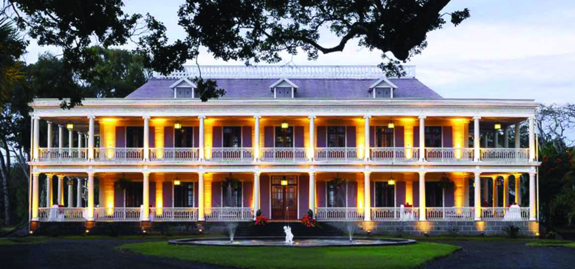
The path leading up to the Château is lined on both sides by Intendance trees (Ficus Retusa). Not only is the Domaine de Labourdonnais more than a simple tourist attraction but it has become a highly coveted place to live and work in the North of Mauritius.
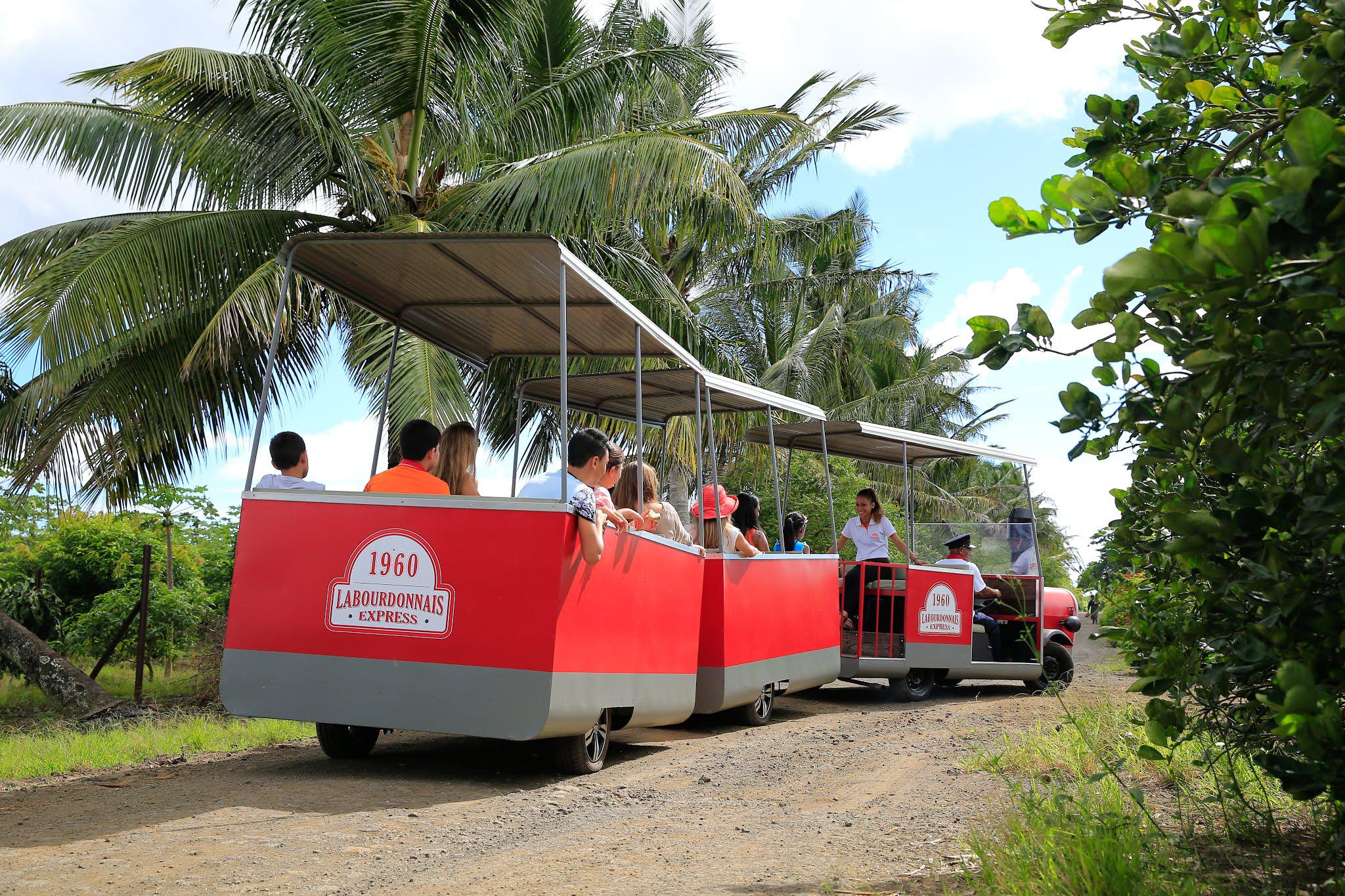
The visit to the Château ends at the tasting bar, where visitors can taste the 100% Mauritian products manufactured at Les Vergers de Labourdonnais and La Distillerie de Labourdonnais. After tasting the in-house rum, the visitors can then bring home in a souvenir bottle. Visitors can also enjoy the experience aboard the Labourdonnais Express, a little train that travels through the estate.
The visitors can have breakfast and lunch at La Terrasse, a café offering both Mauritian and European dishes. Alternatively, taste the gastronomic cuisine prepared by Italian chef at La Table du Château. This restaurant also offers catering services comprising refined and personalized menus for all types of receptions, including a wide selection of appetizers and more gastronomic dishes.
Visitors can also stock up on Domaine de Labourdonnais products, available at La Corbeille, a delicatessen offering a large selection of local, artisanal and organic products.
Domaine de Labourdonnais also offers Château’s gardens or restaurant for weddings, corporate events and other receptions. The Ernest Wiehe conference room is ideal for professional events like conventions, exhibitions, seminars or training courses. Old houses have also been renovated into offices, available for rent to all kinds of businesses.

There are several zip lines suitable for adventure seekers in Mauritius.
CHAZAL ecotourisme
In the middle of the green hills of the south of Mauritius, there is a marvelous garden called CHAZAL. Here you will find the long zip line of 400 meters, followed by two shorter ones at 180 and 110 meters respectively. The zip line is managed by a company called Rodrig Adventure (commonly known as Tyrodrig). While you are riding the zip line you will get stunning views of the green valleys, along with the stunning ocean at Montagne Malgache.
In addition to zip-lines trekking, you can enjoy walks in the hunting reserve, walks along a suspension bridge (at Cascade Pistache), bungee jumping (at Cascade Pistache) and Via Ferrata (at Montagne Tonnerre).
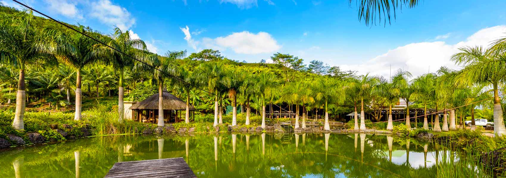
Chamouny Zip line
Located somewhere in the Mauritian outback, in the middle of sugar cane and close to the woods, the zip line is suitable for even the kids (7 and 9) to master the thrilling zip lines from one side of the river to the other. Swimming below the cascade is also great, but don’t forget your insect repellent.
Ferney Valley
Ferney Valley consists of 7 zip lines of different lengths, heights, and speed. These zip lines were originally created for biologists who were trying to observe animal life without disturbing it and making it too obvious. Children from the age of 12 can enjoy these zip line rides.
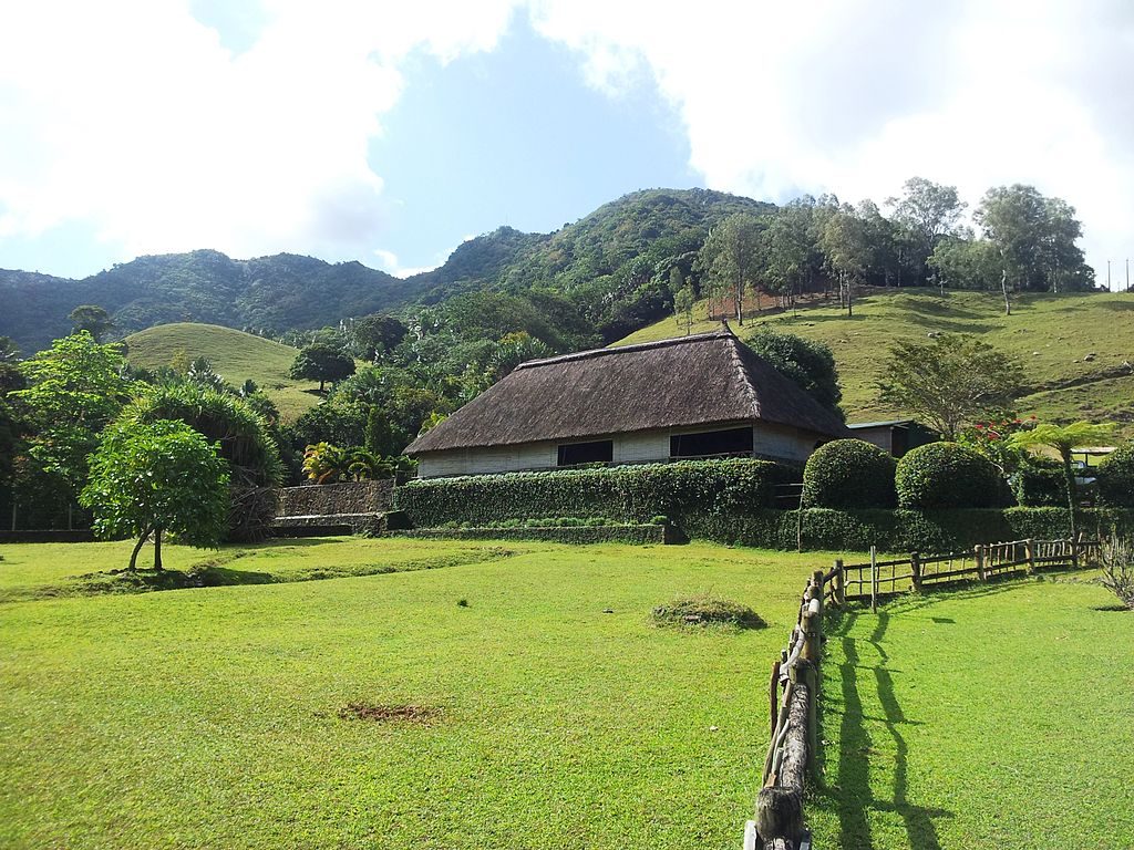
Vallée des Couleurs
From the zip lines you will get to discover the beautiful scenery of the South Coast of Mauritius, including the entire nature park, its waterfalls and canyons from high above.
There are several zip lines of different length (500m, 1.5 km (single line), 1.6 km (7 lines) or 3.1 km) with professional guides to help you. You will also get a chance to view a fantastic land of 23 Coloured Earths, the canyon, and the forest from high above.
The park’s restaurant La Citronnelle offers a 3 course set lunch menu (Starter, Main Course, Side Dish, Dessert and a Drink).
Nepalese Bridge Zip line
You have a choice of 1 zip line or a combo of 3. The 3 zip lines feature a 240 m Zip-Line, a 300 m Zip-Line and a 260 m Zip-Line.
From these zip lines you will enjoy remarkable views of the entire canyon, landscapes, waterfalls and forest from high above.
Nepalese Bridge is wooden platforms suspended by solid ropes high above the lush tropical green forests. The zip lines will take you close to wildlife and nature as you cross the outstanding 220-metre long Nepalese Bridge. You can also take a free visit of the endemic forest surrounded by ebony trees aged over 300 years.
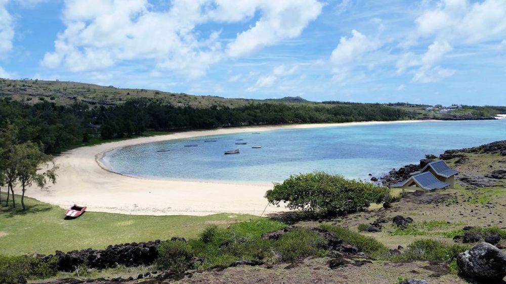
St Francois Beach is one of the best beaches in Rodrigues, and also the longest. It is located off the east coast of Rodrigues Island.
Stretching over 700 meters of soft white sand and peaceful waters, the beach is empty most of the time and visited only by a handful of people mainly on Sundays.
St Francois beach is also one of the main starting points for hiking to Trou D’Argent. There are a couple of restaurants serving delicious local dishes, a few budget guesthouses, and a 4-star resort close by. The octopus curry is a classic Rodriguan dish.
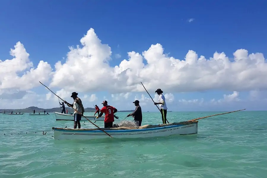
Auberge St Francois is a budget guesthouse located right across St Francois Beach. Some rooms can accommodate up to 6 people and are equipped with a private bathroom, kettle, and mini-fridge. Cheaper rooms have a fan while others have air-conditioning and a private balcony. There are only two restaurants nearby but you can order breakfast, lunch, and dinner at the guesthouse.
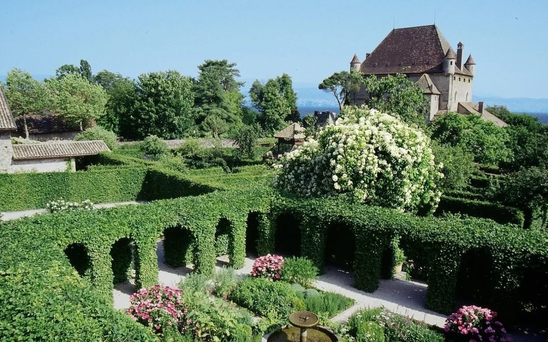
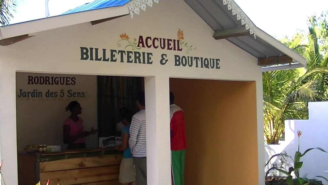
This is an enchanting botanical garden, located in the center of Rodrigues island. The garden is filled with Rodriguan flora with endemic fruit trees, aromatic and medicinal plants and flowers, which are unique in the world.
The small botanical garden appeals to all five senses: you’ll see vivid colors, hear the local birds singing, smell the sweet fragrances of exotic flowers, get in touch with nature (literally), and even taste some of the natural spices growing in the garden.
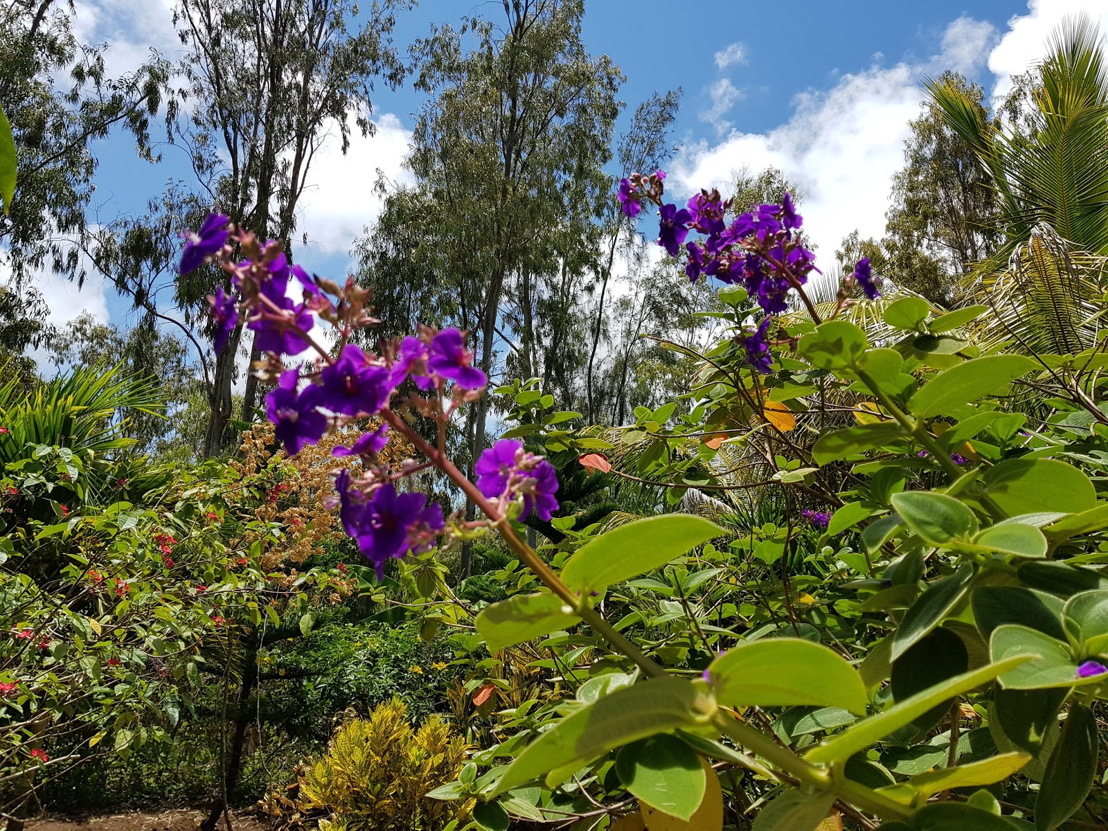
The guided tour takes about an hour, which is interactive and educational. You will learn about the legends, medicinal virtues and culinary benefits of plants that grow up in the Rodriguan fertile soil.
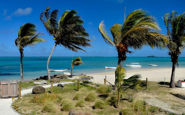
Anse Mourouk is another white sandy beach in Mourouk village in Rodrigues. The ocean is mostly shallow and the sea bottom is flat making it one of the best kitesurfing spots on the island. This is also where the Rodrigues International Kite Surf Festival is held annually. This Kite Festival is an event created and organized by the Rodrigues Kitesurf Association with the support of the Ministry of Tourism, Rodrigues Regional Assembly and the sponsors.
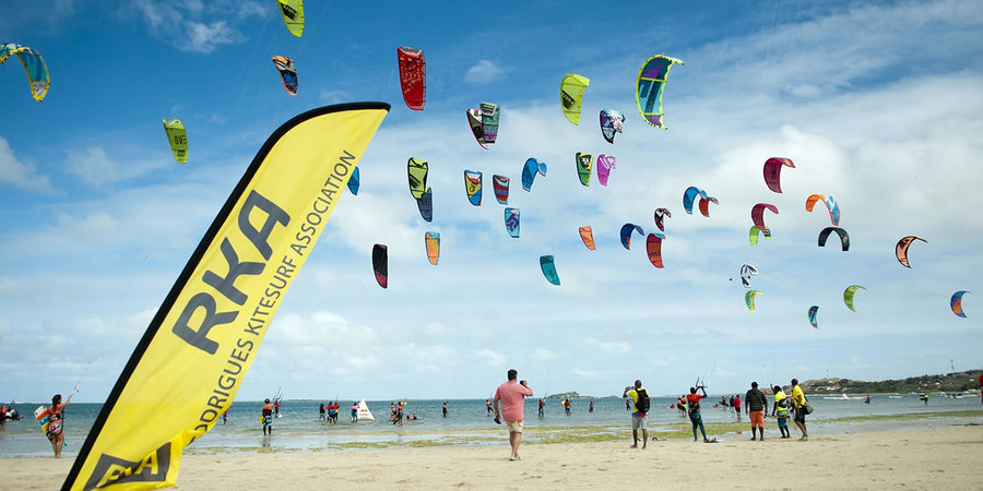
Balanced by a constant wind almost all year round, the kitesurf spot, Anse Mourouk’ is ideally located on a shallow turquoise lagoon for the practice of this sliding sport in complete safety in exceptional sailing conditions.
During this competition, Rodrigues will be vibrating to the rhythm of its kitesurf festival. Many experienced kitesurfing enthusiasts as well as experienced amateurs from the islands of the region and other parts of the world will perform for five days challenging each other in impressive aerial figures out of the waves.
There are many kitesurfing schools on the island which shows the popularity of kitesurfing in the region.

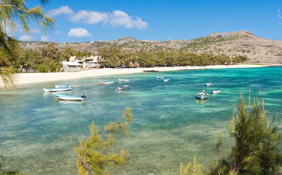
Pointe Cotton Beach is a popular beach in Rodrigues with sharp corals in the water. It will be good to wear water shoes for a more enjoyable swim. The beach, which is almost always deserted, is among the most beautiful beaches in the island.
The shallow lagoon that encircles the island is bordered by a protecting coral reef; 18 small islets lie within it. While Mont Limon and Mont Lubin, two volcanic peaks, stand guard over the island.
You can also take a walk along the right side of the beach to explore the large coral outcrop. The landscape there is completely different with strong wind and huge waves crashing against the cliffs. Rock formations of coral origin and shady casuarina groves surrounding the beach serve not only as a spectacular background, but also as reliable protection from strong winds.
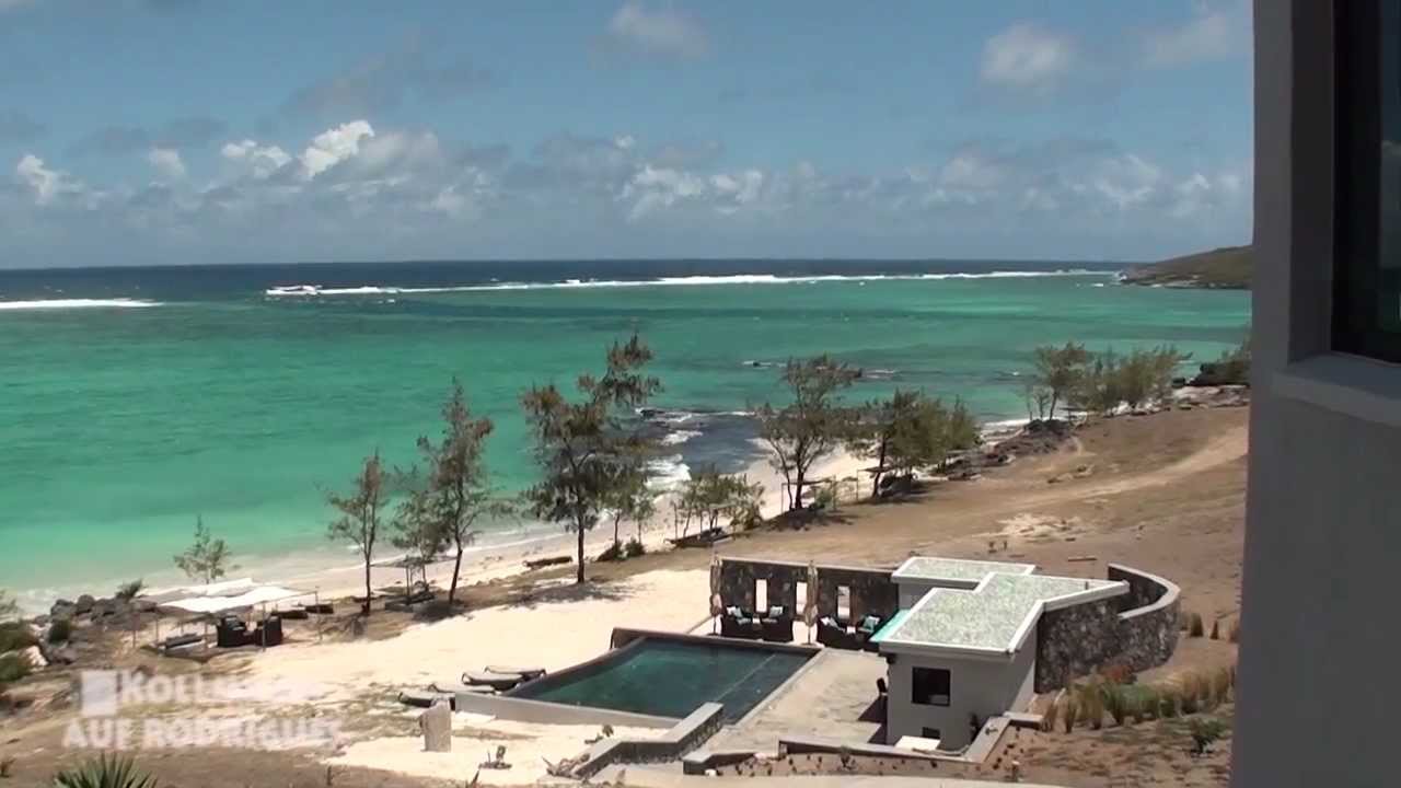
The area of the island where the beach is located is replete with resorts and restaurants for every taste and budget.
The coastal shallow water guarantees a safe family vacation with the kids. Active leisure enthusiasts can go swimming, parasailing, banana boating and water skiing. A pristine turquoise lagoon with coral reefs is for scuba diving fans.
About an hour’s walk from Pointe Coton on the East Coast takes you to the cove of Trou d’Argent, a charming little sandy beach sheltered by two magnificent cliffs.
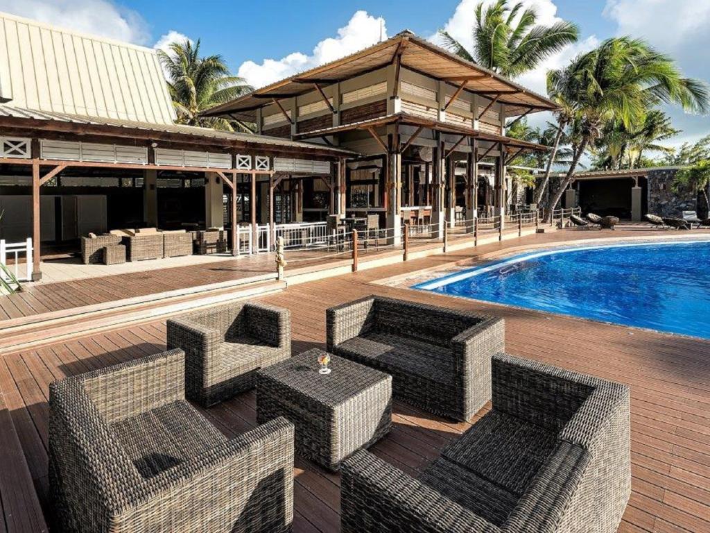
Cotton Bay Hotel is the nearest hotel. It is only 200 meters from the beach. It is a three star hotel. Tekoma Boutik Hotel Rodrigues is a 4-star hotel which is 1.3 kiliometres from the beach.